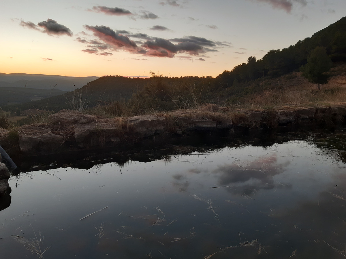
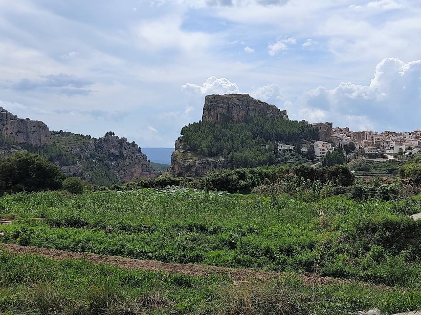
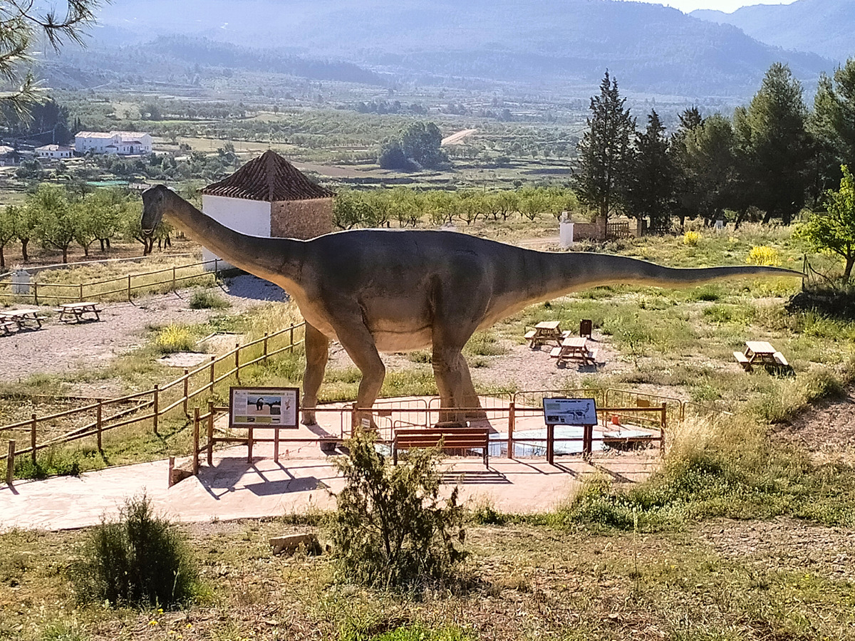
GR 37 E02 TITAGUAS - ALPUENTE
Promoter: S.M. Societat Excursionista de València Guaita
Certification status: No quality controls
Following the inspection carried out by trail technicians, this trail has been declared of ""limited adequacy"" as a result of the faults detected in the signage. These include inadequate horizontal signs (paint markers) and/or vertical ones (trailheads and information boards) or lacking direction markers that do not provide sufficient information to properly follow the route. The builder of this trail has been informed of the situation.
For safety reasons and during maintenance work, it is advised to be extremely careful while taking this route. Furthermore, mountain sports entail risks associated with the activity itself and the environment where they take place, for which any person is fully liable. For this reason, hikes need to be planned properly and adequate training, equipment and sensible use of the trails are required.
Main
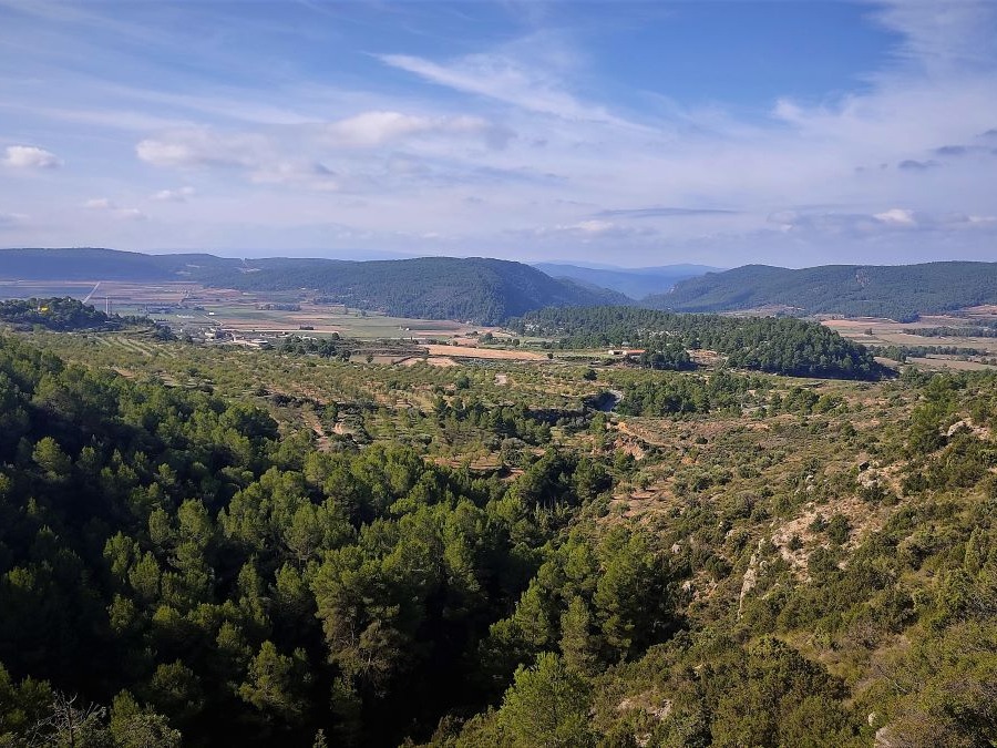
GR 37 VÍAS PECUARIAS - LA SERRANÍA
Promoter: S.M. Societat Excursionista de València Guaita
Certification status: See stages
Previos stage
GR 37 E01 ARAS DE LOS OLMOS - TITAGUAS
Promoter: S.M. Societat Excursionista de València Guaita
Certification status: No quality controls
Etapa número: 1
Next stage
GR 37 E03 ALPUENTE - LA YESA
Promoter: S.M. Societat Excursionista de València Guaita
Certification status: No quality controls
Etapa número: 3
Other trails connecting with this trail
SL-CV 22 BARRANCO DEL REGAJO
Promoter: Ayuntamiento de Aras de los Olmos
Certification status: Conditioned quality control
SL-CV 30 TITAGUAS - LA TEJERÍA
Promoter: Ayuntamiento de Titaguas
Certification status: Positive quality control