Rate this trail

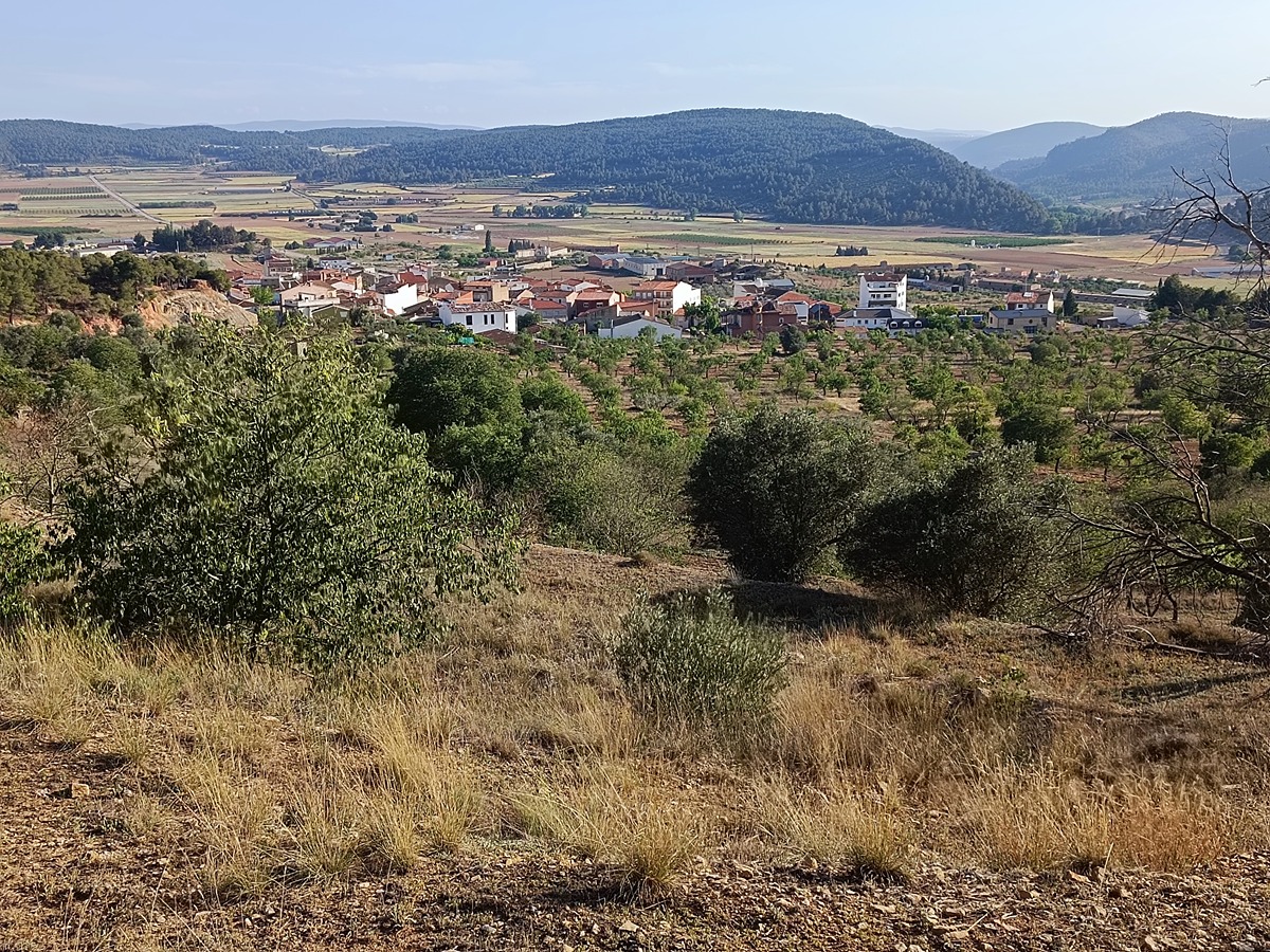
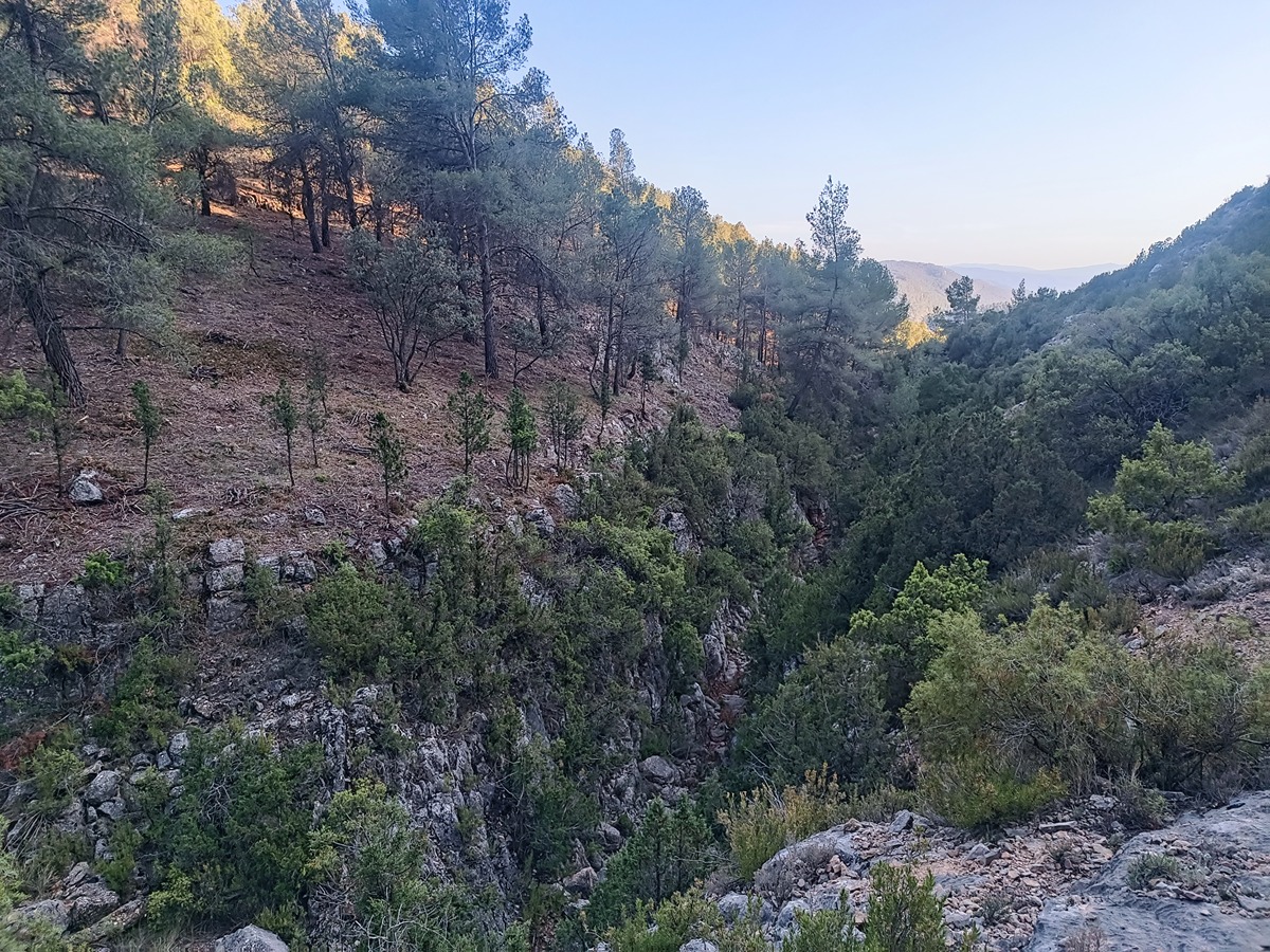
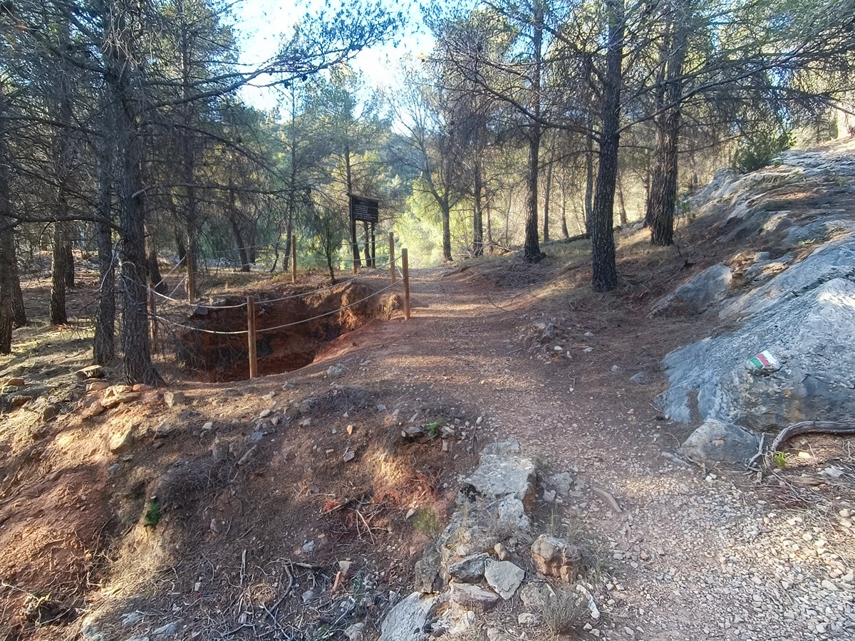
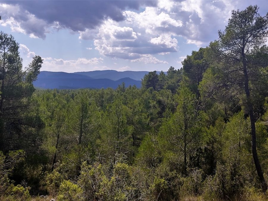
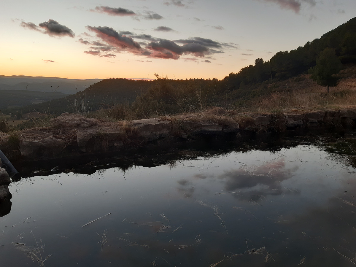
SL-CV 30 TITAGUAS - LA TEJERÍA

Promoter: Ayuntamiento de Titaguas

Certification status: Positive quality control

0 reviews

Following the inspection carried out by trail technicians, this trail has been declared of "limited adequacy" as a result of the faults detected in the signage. These include inadequate horizontal signs (paint markers) and/or vertical ones (trailheads and information boards) or lacking direction markers that do not provide sufficient information to properly follow the route. The builder of this trail has been informed of the situation.
For safety reasons and during maintenance work, it is advised to be extremely careful while taking this route. Furthermore, mountain sports entail risks associated with the activity itself and the environment where they take place, for which any person is fully liable. For this reason, hikes need to be planned properly and adequate training, equipment and sensible use of the trails are required.

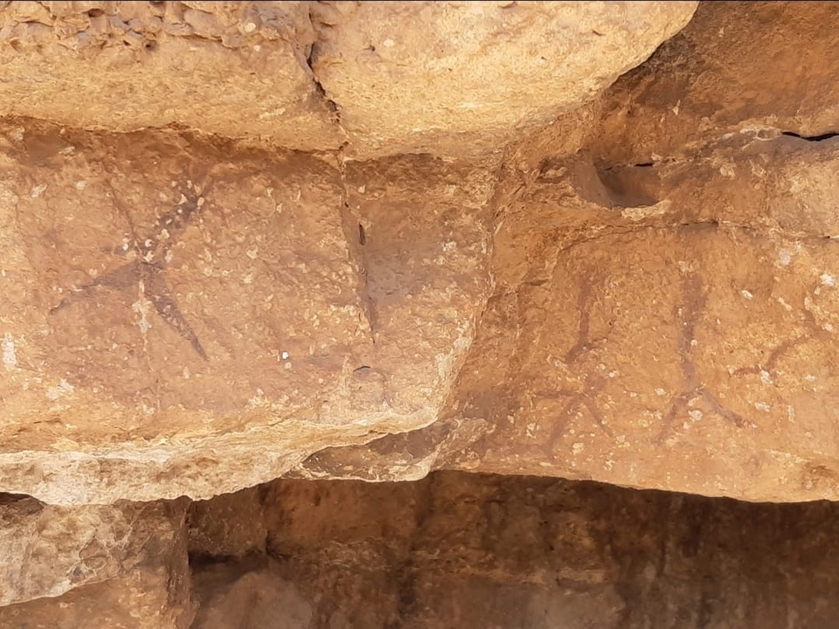
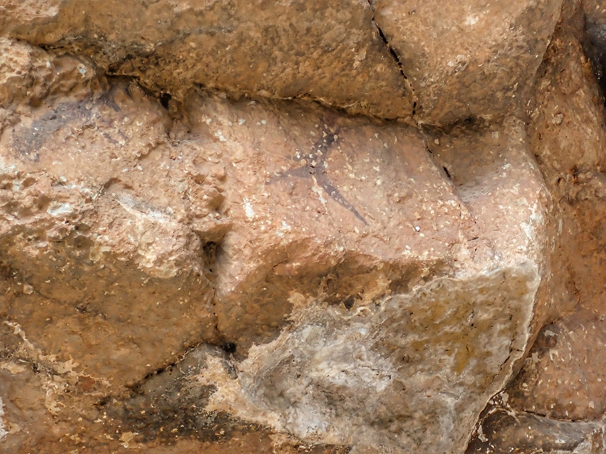
A beautiful circular route that allows you to visit the cave paintings of Tío Escribano, a World Heritage Site.

Trail:
Loop
Technical data:
Length:
5,20 km
Estimated walking time:
01:45:00
Elevation gain:
210 m
Elevation loss:
210 m
MIDE ratings:
Level of natural risks:
1
Navigation on the trail:
2
Hiking difficulty:
2
Fitness level needed:
2

More information on Montaña Segura

Difficulty rating according to FEDME:
Unknown
Useful information:
Date of certification:
25-10-2003
Date of the act of registration in the Public Register:
22-05-2007
Date of the last Quality Control:
june de 2024
Reference municipality:
District:
Province:
Valencia/València
Cartography IGN MTN25:
0638-3

Downloadable from the Catalogue of the IGN Map Library

See other trails of this promoter:
Protected Natural Spaces:

We advise you to look up the regulations and/or authorisations for using the trails in these conservation areas on the website of the Conselleria de Medio Ambiente, Agua, Infraestructuras y Territorio

  • Alto Turia (Biosphere reserve)
  • Alto Turia y Sierra del Negrete (SPAB - Special Protection Area for Birds)
Weather information:
Key points of the route:

Titaguas - Fuente de la Zarza (spring) - Rincón del Tío Escribano - Umbría de la Tejería (shady side) - CV-35 - Rincón de la Olivera - Titaguas

Route description (only available in Spanish)

Salimos desde la fuente Vieja de Titaguas en dirección NE coincidiendo con el GR 37 hasta llegar al área recreativa de la fuente de la Zarza. Aquí nos separamos del GR, pero seguimos junto a su variante 37.1 del rincón del Tío Escribano. Pronto dejamos la pista para coger la senda de la izquierda que nos lleva hasta el barranco de la Tejería pasando antes por los restos de una calera. La senda sube hacia el cruce donde encontramos el corto desvío de 2 minutos hasta las pinturas rupestres.

A continuación, continuamos subiendo hasta el alto de la Tejería donde abandonaremos el GR 37.1 para bajar por la izquierda caminando por la umbría. Salimos a la carretera CV-35, que cruzaremos con precaución, y continuamos bajando de nuevo hasta el barranco de la Tejería. En este punto nos juntamos de nuevo con el GR 37 y para subir de vuelta a Titaguas pasando por el rincón de la Olivera y el polideportivo.

Downloads:

Beware! Navigation devices may fail, batteries may run out of power and devices may break down. Do not use only electronic means to track your activities in the mountains; they must be used as a complement to the map and compass. Get some proper training and enjoy the mountains.

Other trails connecting with this trail