Rate this trail

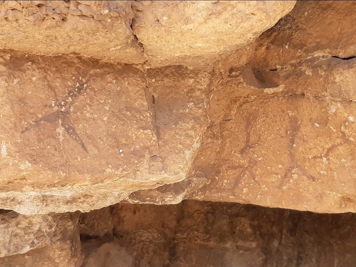
PR-CV 220 SENDA DE LA MADERA

Promoter: Ayuntamiento de Titaguas

Certification status: Positive quality control

1 review

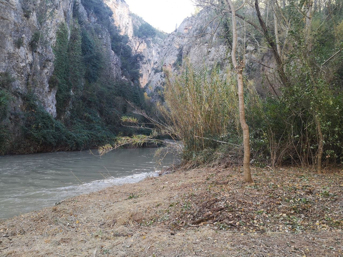
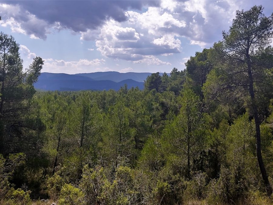
This trail runs along stretches of paved track, country roads, mountain trails, forest tracks and even a firebreak. This trail does not have significant elevation changes and you will start your descent from the middle of this route along the forest track until you reach the Turia riverbed.

Trail:
One way (point-to-point)
Technical data:
Length:
10,30 km
Estimated walking time:
03:20:00
Elevation gain:
255 m
Elevation loss:
525 m
MIDE ratings:
Level of natural risks:
3
Navigation on the trail:
2
Hiking difficulty:
2
Fitness level needed:
3

More information on Montaña Segura

Difficulty rating according to FEDME:
Unknown
Starting point:
End Point:
Interest Tags:
Trail with environmental interes
Useful information:
Date of certification:
15-10-2001
Date of the act of registration in the Public Register:
22-05-2007
Date of the last Quality Control:
july de 2018
Reference municipality:
District:
Province:
Valencia/València
Cartography IGN MTN25:
0638-3

Downloadable from the Catalogue of the IGN Map Library

See other trails of this promoter:
Protected Natural Spaces:

We advise you to look up the regulations and/or authorisations for using the trails in these conservation areas on the website of the Conselleria de Medio Ambiente, Agua, Infraestructuras y Territorio

  • Alto Turia (Biosphere reserve)
  • Alto Turia y Sierra del Negrete (SPAB - Special Protection Area for Birds)
Weather information:
Key points of the route:

Trail start - Titaguas - Local Sports Centre - SL-CV 30 and GR-37 connection - Ermita de San Gregorio (chapel) - Camino Alto intersection - Camino de les Traveses intersection - El Molinillo (mill) - La Caballera - End - El Mandurrio

Route description (only available in Spanish)

Iniciamos nuestro sendero en el polideportivo de Titaguas, partiremos por la pista asfaltada pasando por la puerta del Rincón de la Olivera compartiendo trazado con el GR-37 y SL-CV 30 para dejar la pista asfaltada a la altura del ecoparque y pasar junto a un helipuerto. Tomaremos una pista a la derecha entre pinos que nos lleva de nuevo a la pista asfaltada bajando por una ladera empedrada y empinada que va a parar al Barranco de la Tejería, seguiremos hasta la Ermita de San Gregorio y tomamos un camino rural hasta nuestro punto de desvió, un refugio de pastores, a 300 metros aprox. tomaremos una senda a la izquierda para adentrarnos en terreno forestal hasta el cruce del Camino Alto y continuar la senda hasta conectar con un cortafuegos y bajar por este hasta el camino de les Traveses para girar a nuestra derecha y a unos 100 metros volveremos a tomar un sendero a nuestra izquierda que se adentra en el bosque durante 1 km aprox. hasta llegar a la Zona de Acampada de el Molinillo, y poco mas adelante otra Área de Acampada. La Caballera donde encontramos una cabaña y una gran balsa, retrocedemos lo andado hasta el cruce anterior en el Molinillo para seguir por la pista forestal durante 1'5 km aprox. donde encontramos el desvío hasta el Mandurrio que es nuestro punto final del recorrido, bajaremos por una senda con desnivel bastante pronunciado hasta llegar a el cañón del Río Turia.

Downloads:

Beware! Navigation devices may fail, batteries may run out of power and devices may break down. Do not use only electronic means to track your activities in the mountains; they must be used as a complement to the map and compass. Get some proper training and enjoy the mountains.

Other trails connecting with this trail