Rate this trail

PR-CV 348 CIRCULAR SIERRA ENGARCERÁN - ELS IBARSOS

Promoter: Ayuntamiento de Sierra Engarcerán

Certification status: Positive quality control

0 reviews

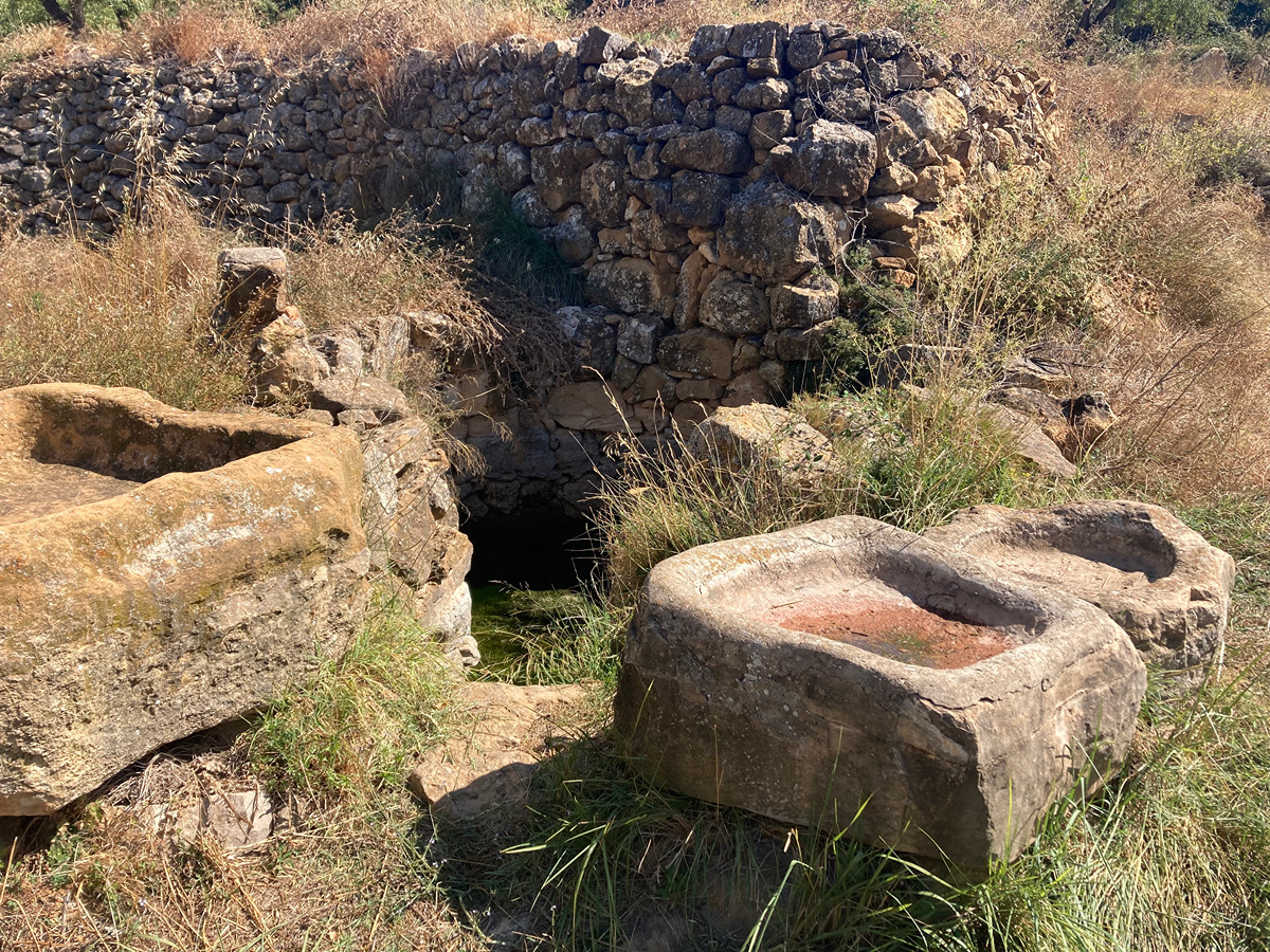
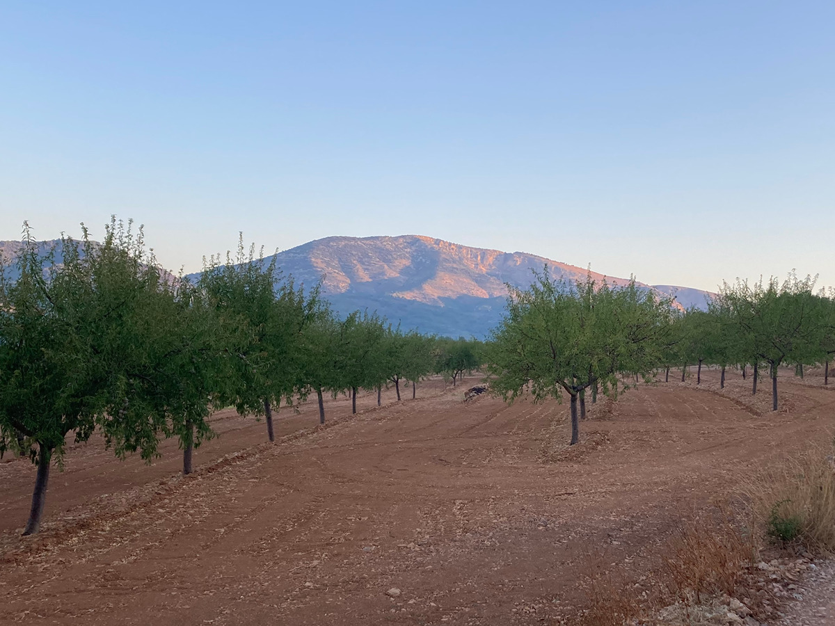
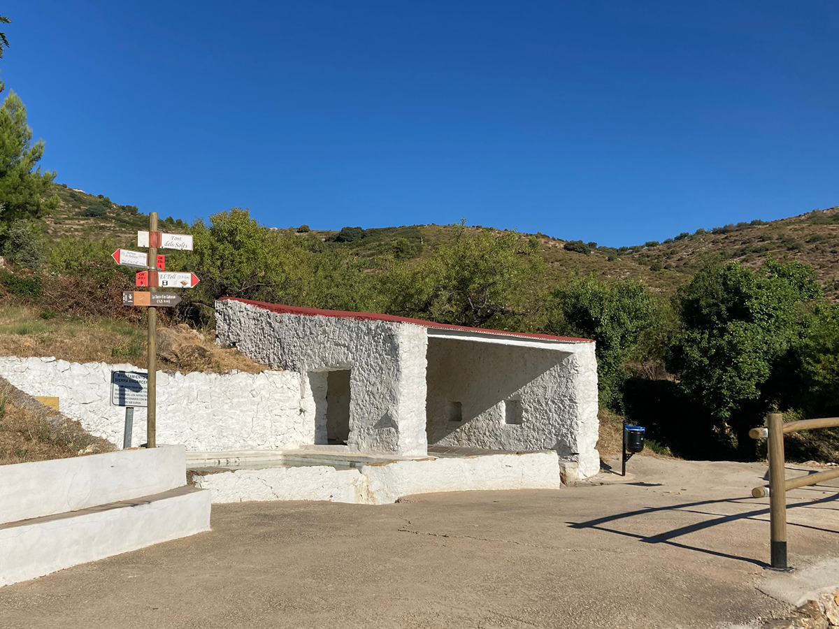
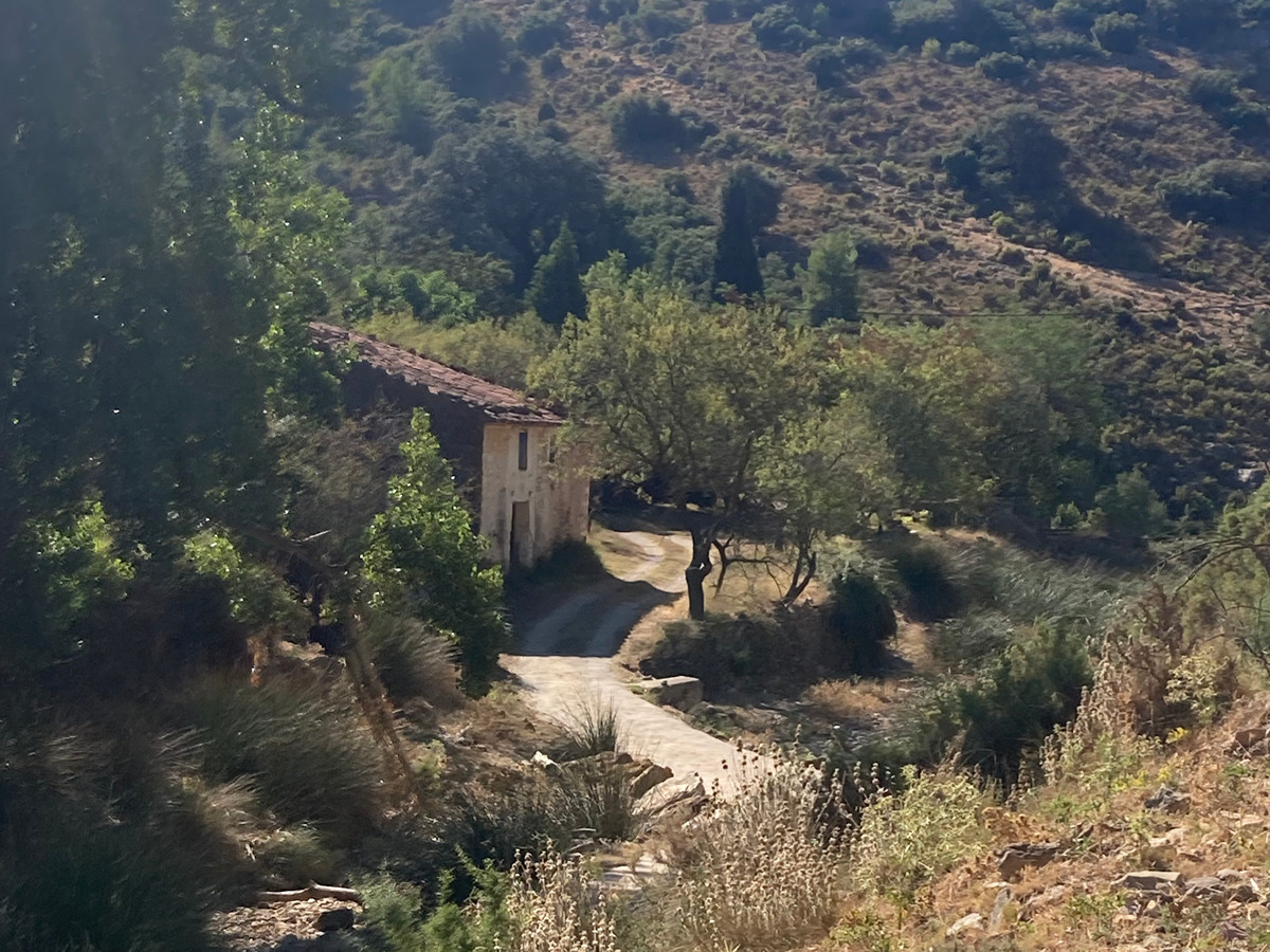
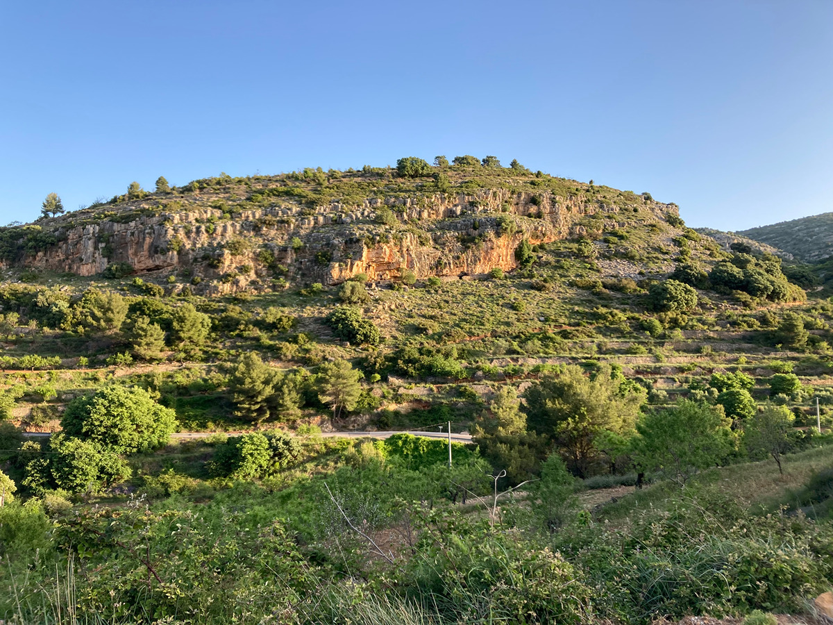
This trail passes by several country estates and their buildings. It will allow you to discover new sites that will take you back in time and help you understand another way of being in contact with nature. On this route, you can see multiple country estates, where the smell of firewood, the ploughed fields, the dogs, the cattle, etc. will make you believe—even if just for a moment—that you have gone back in time.

Trail:
Loop
Technical data:
Length:
22,90 km
Estimated walking time:
07:45:00
Elevation gain:
970 m
Elevation loss:
970 m
MIDE ratings:
Level of natural risks:
2
Navigation on the trail:
2
Hiking difficulty:
2
Fitness level needed:
4

More information on Montaña Segura

Difficulty rating according to FEDME:
Unknown
Starting point:
Useful information:
Date of certification:
15-11-2008
Date of the act of registration in the Public Register:
20-10-2015
Date of the last Quality Control:
august de 2022
Reference municipality:
District:
Province:
Castellón/Castelló
Cartography IGN MTN25:
0593-1; 0593-2; 0593-3

Downloadable from the Catalogue of the IGN Map Library

See other trails of this promoter:
Protected Natural Spaces:

We advise you to look up the regulations and/or authorisations for using the trails in these conservation areas on the website of the Conselleria de Medio Ambiente, Agua, Infraestructuras y Territorio

  • Serra d'en Galceran (SAC - Special Area of Conservation)
  • Serra d'en Galceran (SIC - Site of Community Interest)
Key points of the route:

Sierra de Engarcerán - Mas de Miralles (estate) - Mas d'en Coll (estate) - Pozo Els Ibarsos (well) - Ibarsos - Gravera - Mas d'en Fabona (estate) - Ginebre - Fuente Mas de Agut (spring)- Coll Bandereta (col) - Font de Soles intersection - Font de Soles (spring)- Farm - Sierra de Engarcerán

Route description (only available in Spanish)

Desde el polideportivo iniciamos en dirección Sur y en descenso. Pasa cerca de la font del Toll y llega al mas de Miralles. El recorrido discurre por pistas entre bancales y cultivos hasta llegar al mas d’en Coll. Continúa por terreno ondulado entre cultivos hasta el pla de la Coma donde empieza un acusado descenso hasta Els Ibarsos. Cruzamos la localidad por la antigua carretera hasta la gravera donde se retoma la carretera principal durante 300m. La abandona y transcurre entre masías y vegetación algo más abundante hasta el punto donde la pista asciende de forma acusada en dirección Noroeste, pasando por la font del Mas de Agut hasta el collado de la Bandereta. Desde aquí, se alcanza la font del Soles y continua en dirección a Sierra de Engarcerán donde llegamos por la parte Norte.

Downloads:

Beware! Navigation devices may fail, batteries may run out of power and devices may break down. Do not use only electronic means to track your activities in the mountains; they must be used as a complement to the map and compass. Get some proper training and enjoy the mountains.

Other trails connecting with this trail