ES / EN / VA

Rate this trail

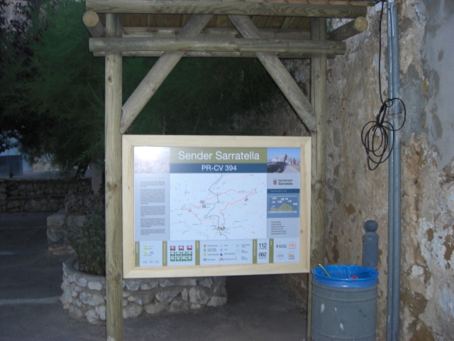
PR-CV 349 CIRCULAR SIERRA ENGARCERÁN - LA SERRATELLA

Promoter: Ayuntamiento de Sierra Engarcerán

Certification status: Conditioned quality control

0 reviews

Following the inspection carried out by trail technicians, this trail has been declared of "limited adequacy" as a result of the faults detected in the signage. These include inadequate horizontal signs (paint markers) and/or vertical ones (trailheads and information boards) or lacking direction markers that do not provide sufficient information to properly follow the route. The builder of this trail has been informed of the situation.
For safety reasons and during maintenance work, it is advised to be extremely careful while taking this route. Furthermore, mountain sports entail risks associated with the activity itself and the environment where they take place, for which any person is fully liable. For this reason, hikes need to be planned properly and adequate training, equipment and sensible use of the trails are required.

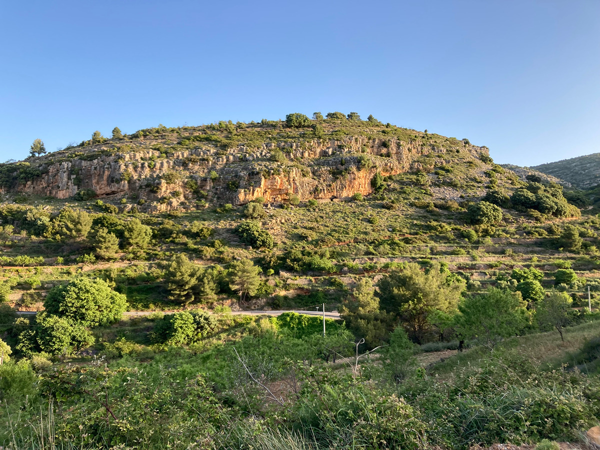
This itinerary will take you to one of the highest places in Sierra Engarcerán: tossal de Zaragoza, a peak crossed by the Greenwich meridian and which is well worth climbing to enjoy the wonderful views.

Trail:
Loop with some overlapping out and back sections
Technical data:
Length:
17,40 km
Estimated walking time:
05:45:00
Elevation gain:
665 m
Elevation loss:
665 m
MIDE ratings:
Level of natural risks:
2
Navigation on the trail:
2
Hiking difficulty:
2
Fitness level needed:
3

More information on Montaña Segura

Difficulty rating according to FEDME:
Unknown
Useful information:
Date of certification:
15-11-2008
Date of the act of registration in the Public Register:
20-10-2015
Date of the last Quality Control:
may de 2022
Reference municipality:
Otros municipios por los que transcurre:
District:
Province:
Castellón/Castelló
Cartography IGN MTN25:
0593-2

Downloadable from the Catalogue of the IGN Map Library

See other trails of this promoter:
Protected Natural Spaces:

We advise you to look up the regulations and/or authorisations for using the trails in these conservation areas on the website of the Conselleria de Medio Ambiente, Agua, Infraestructuras y Territorio

  • Serra d'en Galceran (SAC - Special Area of Conservation)
  • Serra d'en Galceran (SIC - Site of Community Interest)
Key points of the route:

Sierra Engarcerán - Mas de Gargallo (estate) - Lime kiln - Detour to the tossal de Zaragozá - Bassa del Bosc (pond) - Dry-stone hut - Poblado de la Serratella (village) - Barranc del bosc Negre (ravine) - Font del mas d'en Pastor (spring) - Sierra Engarcerán

Route description (only available in Spanish)

Tomamos dirección norte por la carretera CV-115 durante 200 m hasta un cruce a la derecha que toma una pista durante 1,3 km. Al llegar a un cruce con un "prigó" (cruz de camino) debemos continuar por el camino de la izquierda. Aquí se inicia el tramo circular. Continúa por pista hasta un cruce donde cogemos una pista secundaria a la derecha y a los pocos metros cogemos una senda poco marcada hacia la derecha. Cuando llegamos al mas de Gargallo dejamos el PR-CV 350. Continúa hacia el tossal de Saragossa por un sendero entre pinos y carrascas. Pasaremos junto a un horno de cal hasta llegar al cruce a la cumbre del tossal de Saragossà, punto más elevado de la sierra de Engarcerán. El sendero continúa al NE hacia la bassa del Bosc, a una altura cercana a los 1000 m. Continuamos por la divisoria de la loma, primero por pista y después por senda hasta la Serratella. Desde aquí continuamos por la carretera dirección sur durante 1,8 km donde abandonamos la carretera. Continua por pista durante 2 km hasta el inicio del sendero que, en dirección Sur, cruza el barranco del Bosc Negre y después alcanza la fuente del Pastor. Desde aquí y ya por pista, se alcanza la bifurcación, después de 2 km donde retoma la pista de ida hasta Sierra de Engarcerán.

Downloads:

Beware! Navigation devices may fail, batteries may run out of power and devices may break down. Do not use only electronic means to track your activities in the mountains; they must be used as a complement to the map and compass. Get some proper training and enjoy the mountains.

Other trails connecting with this trail