ES / EN / VA

Rate this trail

PR-CV 350 CIRCULAR DEL TOSSAL DE L´OM

Promoter: Ayuntamiento de Sierra Engarcerán

Certification status: Positive quality control

0 reviews

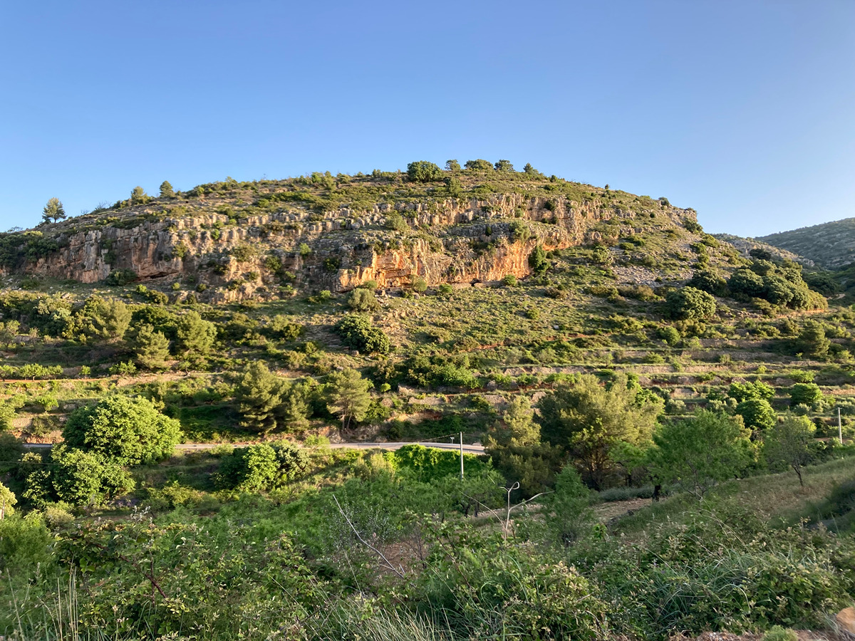
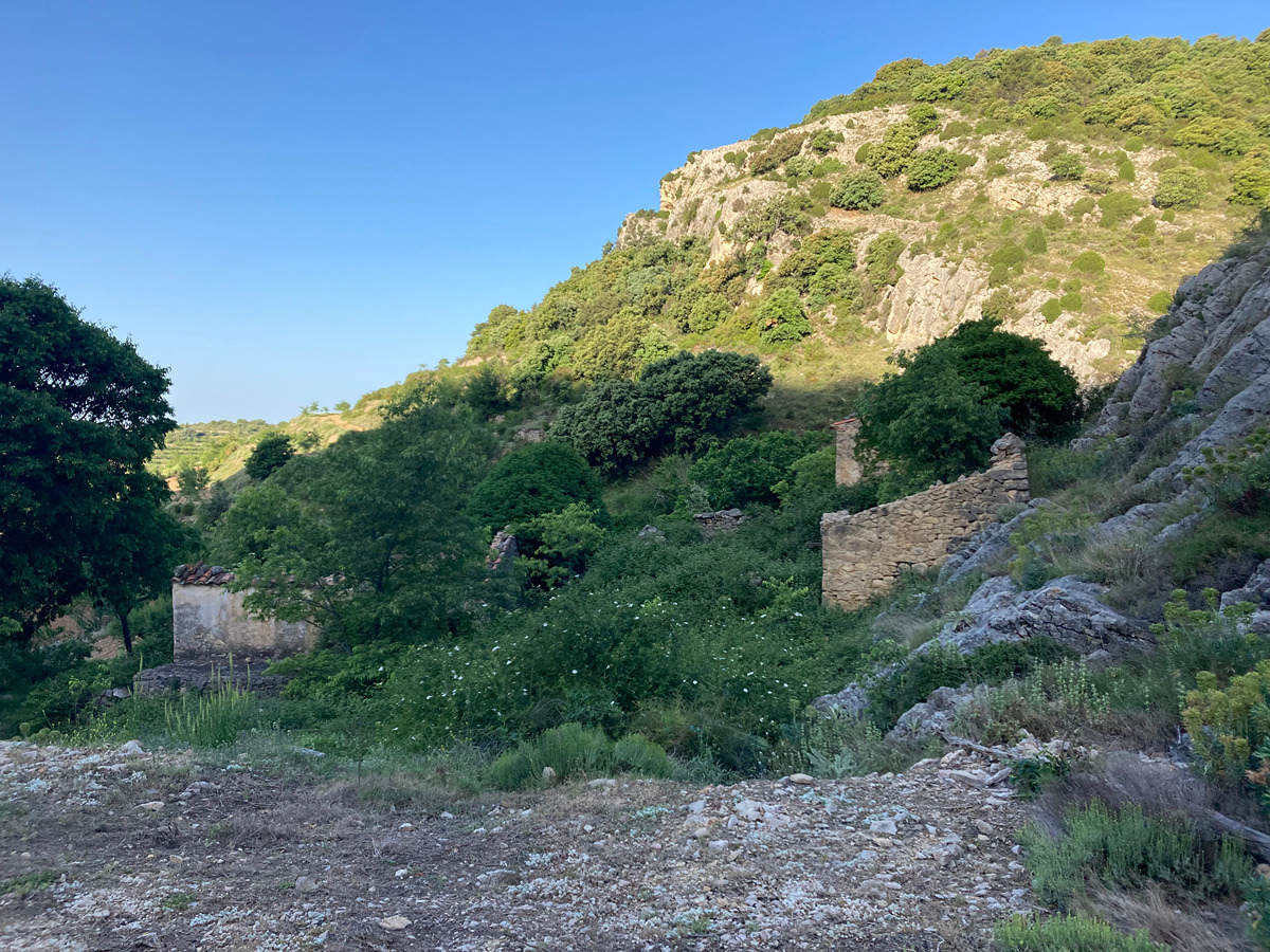
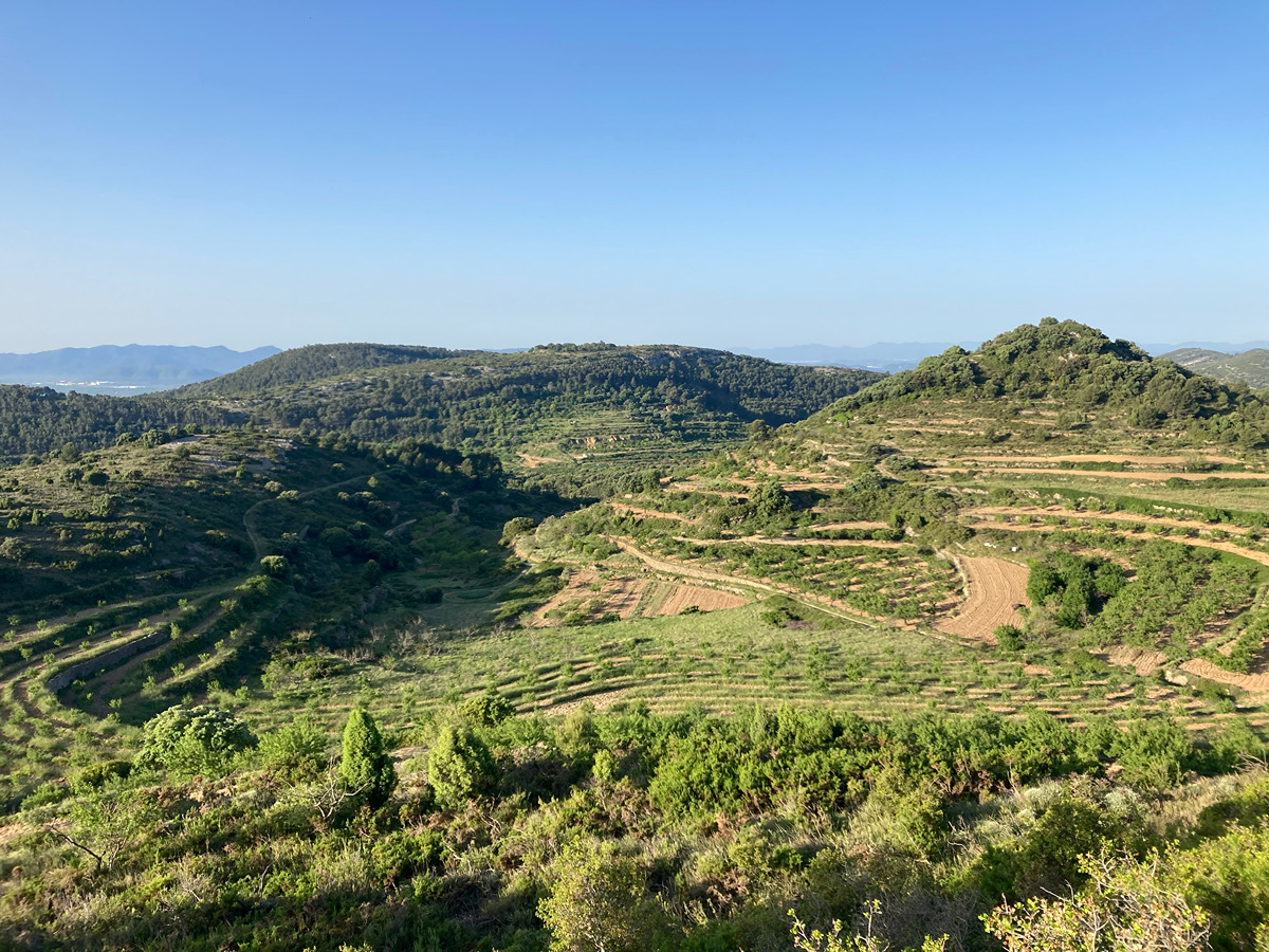
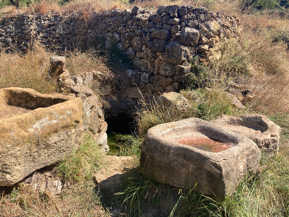
A gentle circular route with no major elevation changes that will allow you to discover different corners of Sierra Engarcerán: old-growth holm oak forests, groups of country estates with remarkable constructions, dryland farms for crops like almonds and olives, and dry stone constructions.

Trail:
Loop with some overlapping out and back sections
Technical data:
Length:
9,60 km
Estimated walking time:
03:00:00
Elevation gain:
300 m
Elevation loss:
300 m
MIDE ratings:
Level of natural risks:
1
Navigation on the trail:
2
Hiking difficulty:
2
Fitness level needed:
3

More information on Montaña Segura

Difficulty rating according to FEDME:
Unknown
Useful information:
Date of certification:
15-11-2008
Date of the act of registration in the Public Register:
20-10-2015
Date of the last Quality Control:
june de 2022
Reference municipality:
District:
Province:
Castellón/Castelló
Cartography IGN MTN25:
0593-2; 0593-1

Downloadable from the Catalogue of the IGN Map Library

See other trails of this promoter:
Protected Natural Spaces:

We advise you to look up the regulations and/or authorisations for using the trails in these conservation areas on the website of the Conselleria de Medio Ambiente, Agua, Infraestructuras y Territorio

  • Serra d'en Galceran (SAC - Special Area of Conservation)
  • Serra d'en Galceran (SIC - Site of Community Interest)
Key points of the route:

Sierra Engarcerán - PR-CV 349 and GR 230 connection - Mas de Gargallo (estate) (connection PR-CV 349 and GR 230) - Mas de Capó (estate) - Mas de Paula (estate) ( GR 230 connection) - GR 230 connection - Coll de la Bandereta (col) (connection PR-CV 348) - Font de Solés (spring) (connection GR 230) - GR 230 connection - Sierra Engarcerán

Route description (only available in Spanish)
Saldremos junto con el PR-CV 349 por la carretera y en el siguiente cruce tomamos el camino de tierra de la derecha. Seguiremos hasta separarnos del PR-CV 349 y unirnos con el GR 230. Seguiremos por el camino de la izquierda hasta el siguiente cruce que tomaremos a la derecha y a pocos metros seguiremos por un sendero en sentido ascendente por la izquierda que nos dejara en el mas de Gargallo donde nos separamos del PR-CV 349 y GR 230. Seguiremos por la senda hasta el mas de Capó, tomaremos la pista que nos llevara al mas de Paula donde nos volvemos a unir al GR 230. Seguiremos por pista hasta llegar a la carretera cruzándola para situarnos en el collado de la Banderata y unirnos al PR-CV 348. Seguiremos por pista hasta la font de Solés y con el GR 230. Pasaremos junto a la fuente y seguiremos por camino hormigonado. En el siguiente cruce nos separamos del GR 230 siguiendo por el camino principal hasta llegar a la carretera donde giramos hacia la derecha para llegar al final del itinerario.
Downloads:

Beware! Navigation devices may fail, batteries may run out of power and devices may break down. Do not use only electronic means to track your activities in the mountains; they must be used as a complement to the map and compass. Get some proper training and enjoy the mountains.

Other trails connecting with this trail