Rate this trail

PR-CV 39 SENDA DE LA GRANATA

Promoter: Centre Excursionista de Tavernes de la Valldigna

Certification status: Positive quality control

3 reviews

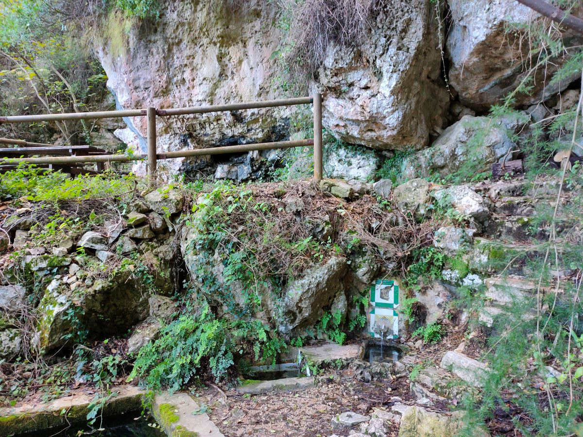
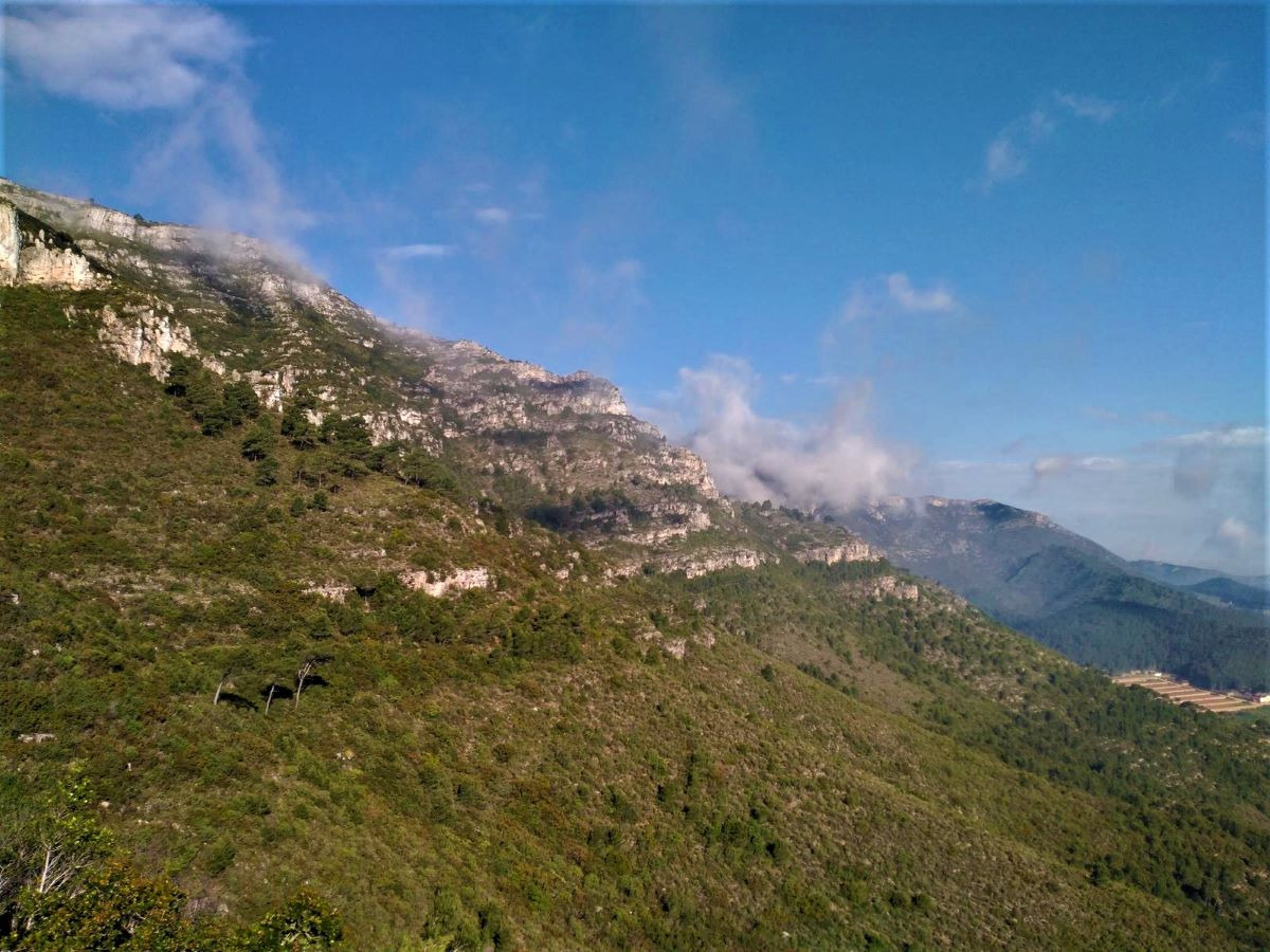
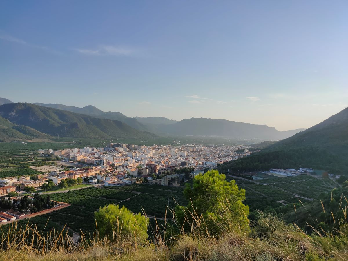
The Font de la Granata trail is a circular route on the shady side of the Massalari peak with great scenic, environmental, and historical appeal, where the Font de la Granata spring stands out. It has abundant vegetation due to its orientation, where you can enjoy both the view of the mountain and the orange groves.

Trail:
Loop
Technical data:
Length:
12,40 km
Estimated walking time:
04:00:00
Elevation gain:
430 m
Elevation loss:
430 m
MIDE ratings:
Level of natural risks:
1
Navigation on the trail:
2
Hiking difficulty:
2
Fitness level needed:
3

More information on Montaña Segura

Difficulty rating according to FEDME:
Unknown
Useful information:
Date of certification:
15-10-1994
Date of the act of registration in the Public Register:
22-05-2007
Date of the last Quality Control:
july de 2022
Reference municipality:
District:
Province:
Valencia/València
Cartography IGN MTN25:
0770-4; 0771-3

Downloadable from the Catalogue of the IGN Map Library

See other trails of this promoter:
Protected Natural Spaces:

We advise you to look up the regulations and/or authorisations for using the trails in these conservation areas on the website of the Conselleria de Medio Ambiente, Agua, Infraestructuras y Territorio

  • Sierra de Corbera (SAC - Special Area of Conservation)
Key points of the route:

Tavernes de la Valldigna - Canal de defensa (mountain pass) - Water deposit - Font de la Granata (spring) - Camino del Mirador (path) - Water deposit - Canal de defensa (mountain pass) - Tavernes de la Valldigna

Route description (only available in Spanish)

Desde la rotonda de entrada a la población de Tavernes de la Valldigna, donde está situado el panel informativo, seguiremos junto el PR-CV 38 subiendo por la calle del Maestro Serrano hasta el final de la calle donde encontramos el canal de defensa. El PR-CV 38 va por el muro y nosotros hacia la derecha por el camino de acceso al club de tenis.

Pasamos por unas puertas metálicas por un camino asfaltado bordeado de campos de naranjos. A la altura de un almacén giramos a la derecha y en unos metros cogemos una senda a la izquierda. A pocos metros dejamos el cruce de la senda Travesera Tavernes-Favara y seguimos por la derecha para salvar dos canalizaciones aéreas. Al poco llegamos al depósito de agua, punto de inicio de la variante PR-CV 39.1. Continuamos por la izquierda y seguimos por una senda de nuevo a la izquierda. Dejamos un par de sendas para enfilar la senda que va por toda la vertiente de la sierra hasta llegar a la font de la Granata.

Continuamos por un camino de piedra hasta llegar a un camino asfaltado donde empiezan los bancales de naranjos y que seguiremos hasta el cruce con el camino del Massalari que cogemos a la derecha hasta el camino del Racó Redó donde volvemos a girar a la derecha. Seguimos hasta el cruce con camino del Mirador donde volvemos a girar a la derecha por una pista de tierra para llegar al depósito de agua. Ahora solos nos queda bajar por el mismo camino de ida hasta Tavernes.

Downloads:

Beware! Navigation devices may fail, batteries may run out of power and devices may break down. Do not use only electronic means to track your activities in the mountains; they must be used as a complement to the map and compass. Get some proper training and enjoy the mountains.

Comments:

Antes del campo de tenis hay unas puertas de hierro que en algún momento durante la época de recogida de la naranja pueden estar cerradas. Si tenéis algún problema para entrar/salir telefonead al ayuntamiento: 96 282 40 15.

Alternative routes and routes leading to nearby points of interest

Other trails connecting with this trail
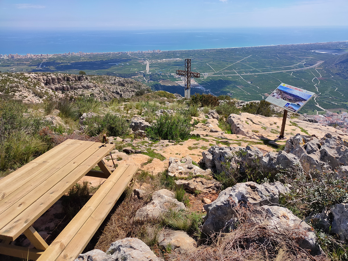