
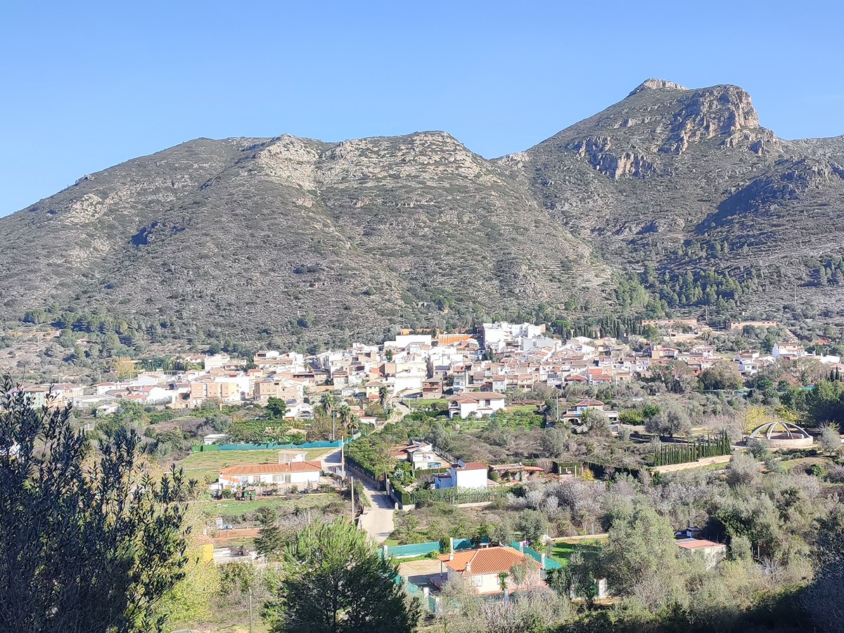
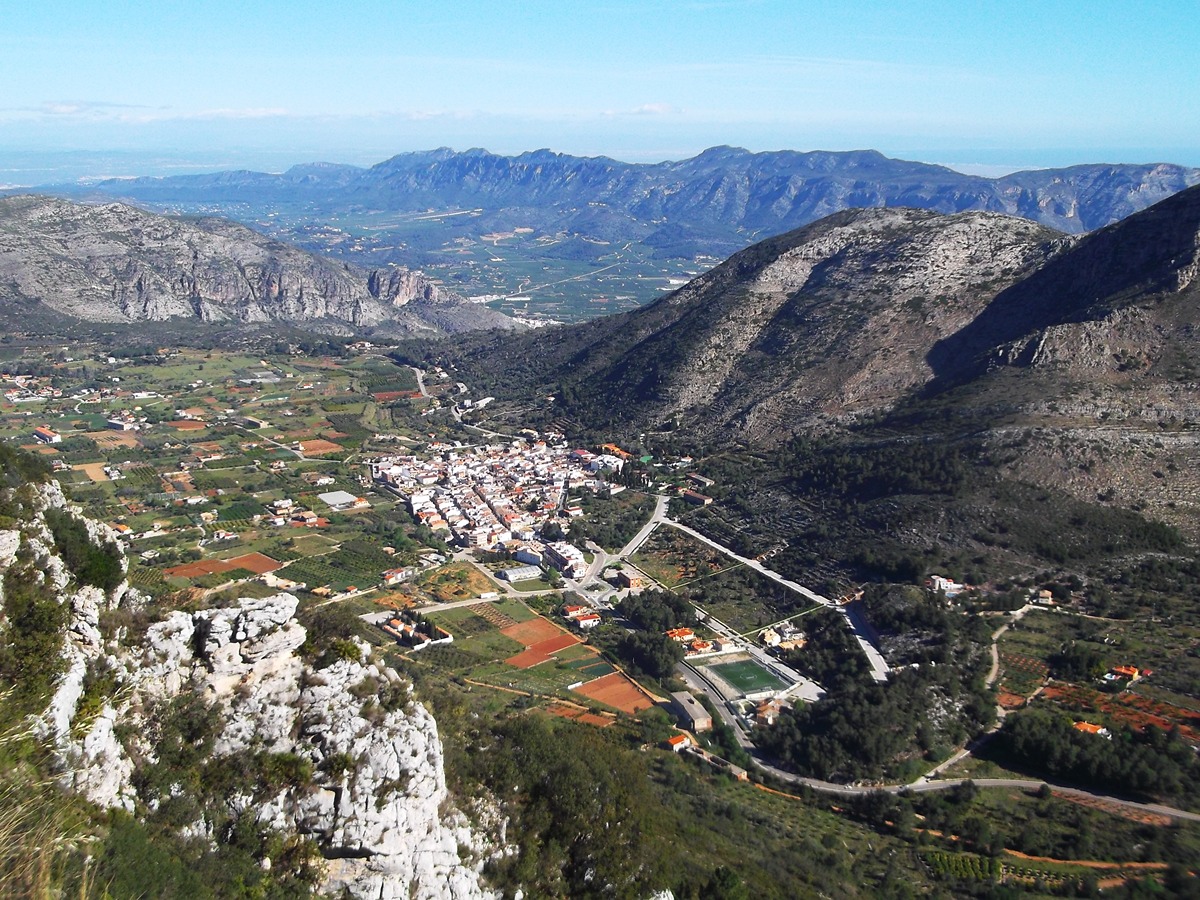
PR-CV 60 BARX - LA DROVA
Promoter: Ayuntamiento de Barx
Certification status: Positive quality control
1 review
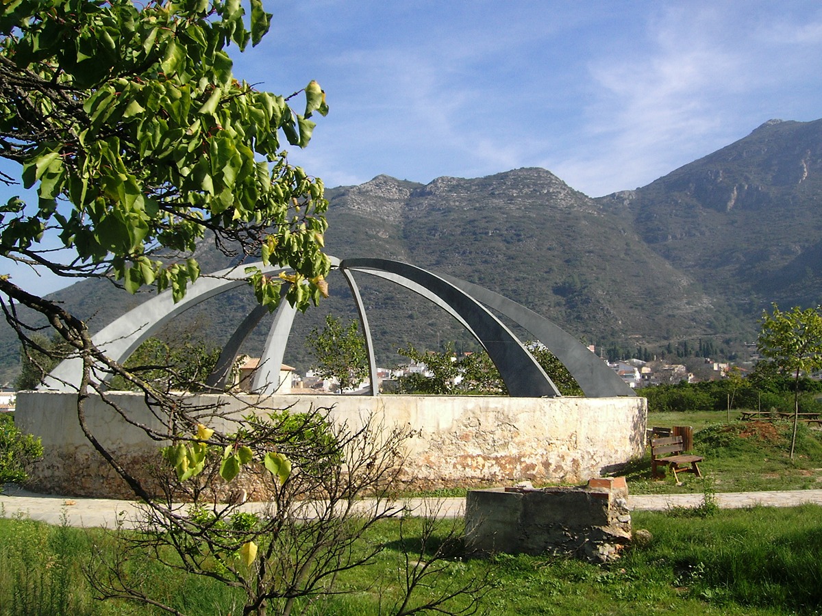
Route in which we can enjoy both historical aspects and nature with several snowdrifts and snowdrifts that, along with the old bridle path, makes us relive the history of the “nevaters”. With respect to nature, we cross the leafy micro-reserve of flora of the Manesa ravine.
Trail:
Loop with some overlapping out and back sections
Alternative routes and routes leading to nearby points of interest
PR-CV 60d1 DERIVACIÓN ALTO DE LA ALDAIA
Promoter: Ayuntamiento de Barx
Certification status: Positive quality control
Reference municipality: Barx
Length: 1,30 km
Estimated walking time: 00:30:00
Elevation gain: 75 m
Elevation loss: 75 m
(1)
PR-CV 60d2 DERIVACIÓN A LA FONT DE LA PUIGMOLA
Promoter: Ayuntamiento de Barx
Certification status: Positive quality control
Reference municipality: Barx
Length: 1,00 km
Estimated walking time: 00:20:00
Elevation gain: 25 m
Elevation loss: 35 m
(0)
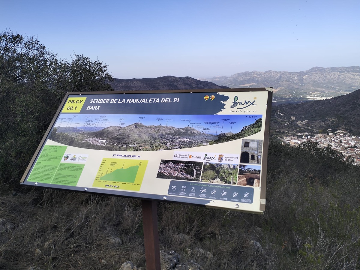
PR-CV 60.1 SENDA DE LA MARJALETA DEL PI
Promoter: Ayuntamiento de Barx
Certification status: Positive quality control
Reference municipality: Barx
Length: 3,50 km
Estimated walking time: 01:15:00
Elevation gain: 360 m
Elevation loss: 45 m
(0)
Other trails connecting with this trail

PR-CV 51 LA VALLDIGNA Y EL MONDÚVER
Promoter: Centre Excursionista de Tavernes de la Valldigna
Certification status: No quality controls
Reference municipality: Tavernes de la Valldigna
Length: 32,59 km
Estimated walking time: 13:35:00
Elevation gain: 495 m
Elevation loss: 495 m
(0)
GR 236 E03 PINET - LA BARRACA D'AIGÜES VIVES
Promoter: Ayuntamiento de Alzira
Certification status: No quality controls
Etapa número: 3
Reference municipality: Pinet
Length: 22,00 km
Estimated walking time: 06:40:00
Elevation gain: 450 m
Elevation loss: 715 m
(0)
GR 236.1 MONESTIR DE SANT JERONI DE COTALBA - BARX
Promoter: Ayuntamiento de Alzira
Certification status: No quality controls
Reference municipality: Alfauir
Length: 12,80 km
Estimated walking time: 03:45:00
Elevation gain: 385 m
Elevation loss: 115 m
(0)