SL-CV 50 BARRANCO DE LA VIUDA - CALA LLEBEIG - CALA MORAIG
Promoter: Ayuntamientos de Teulada-Moraira y El Poble Nou de Benitatxell.
Certification status: No quality controls
There is no proof of quality control on the record of this trail in the last years. For this reason, it is unknown whether it complies with the optimal signage and maintenance conditions for hikers to take the trail following these signs exclusively.
Hikers have to take into consideration that the information about the signage and maintenance of the trails for which the promoter entity is responsible might not be up to date anymore, since it refers to its state on the date of its approval. Furthermore, mountain sports entail risks associated with the activity itself and the environment where they take place, for which any person is fully liable. For this reason, hikes need to be planned properly and adequate training, equipment and sensible use of the trails are required.
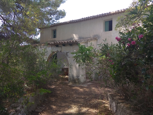
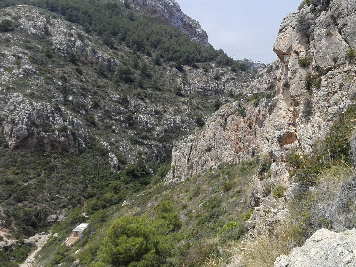
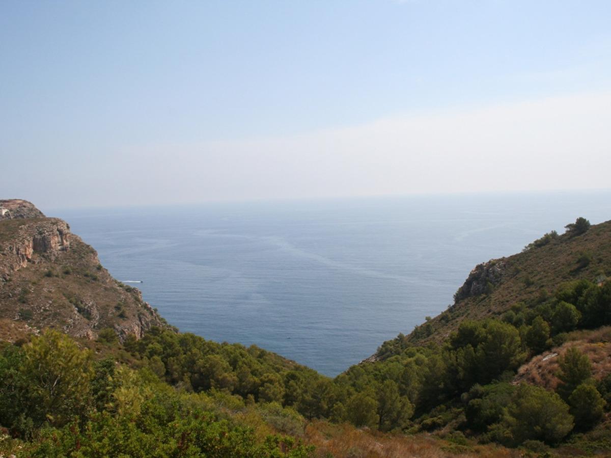
All along the way there are caves carved into the rock and dry stone constructions next to the vertical cliff face. These were often used as a refuge for fishermen, farmers and even smugglers until the middle of the 20th century. The humble refuges served as shelter from the night, storms or as storage room for tools. Most of them still bear the names of those who built them or used them. Along this route you can also see some terraces that show how, in the recent past, the locals used the land until they reached the sea.
Other trails connecting with this trail