Cambiar idioma a español / Cambiar idioma a english / Cambiar idioma a valencià

News

(only available in Spanish)
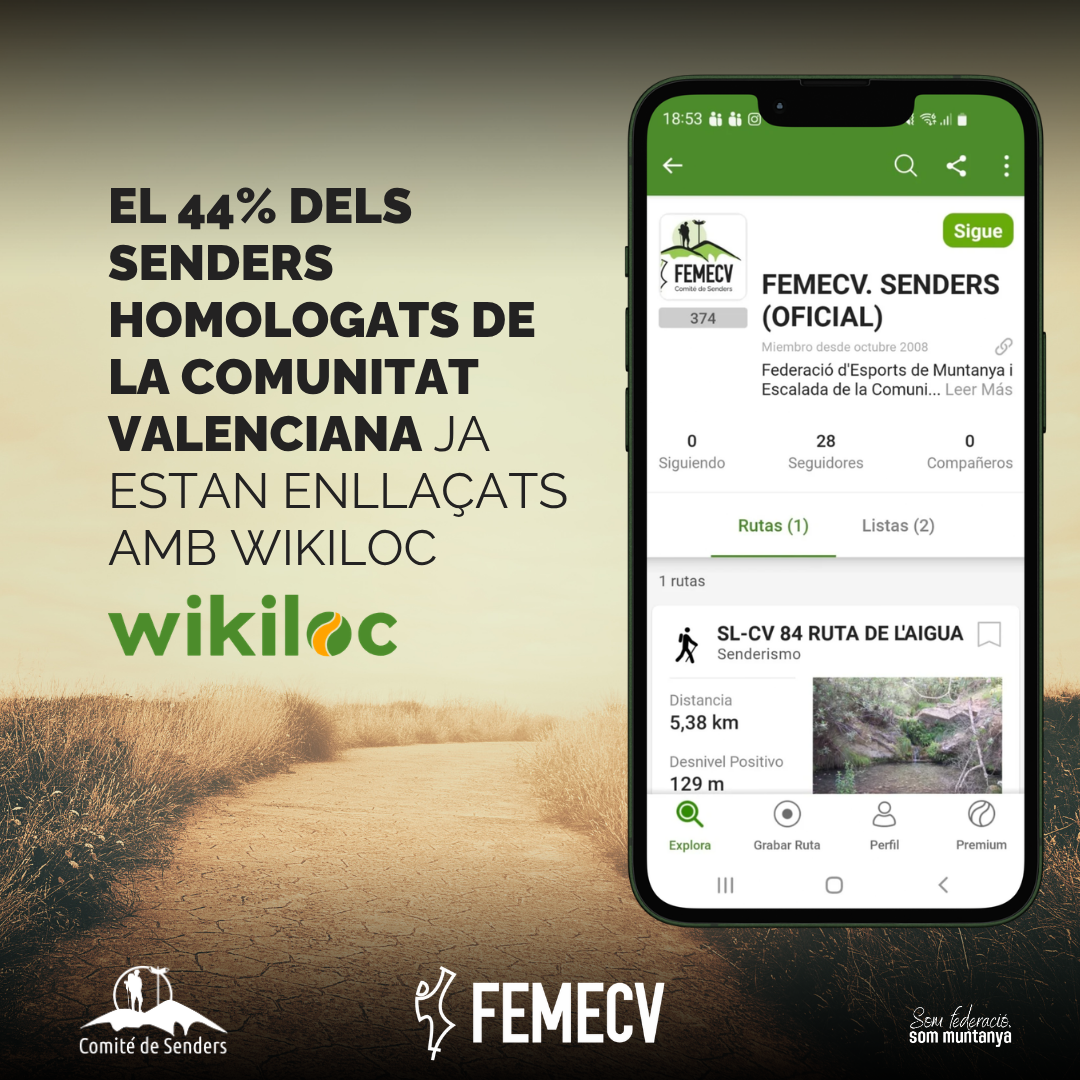
El 44% de los senderos homologados de la Comunitat Valenciana ya están enlazados con Wikiloc
  • 05 de oct, 2026

El 44% de los senderos homologados de la Comunitat Valenciana ya están enlazados con Wikiloc

La primera fase permite acceder directamente a Wikiloc a los recorridos de 300 senderos homologados desde el buscador oficial.

Continue reading
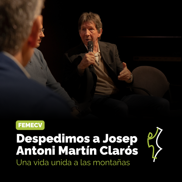
La FEMECV lamenta la pérdida de Josep Antoni Martín Clarós
  • 28 de sep, 2026

La FEMECV lamenta la pérdida de Josep Antoni Martín Clarós

El alpinista vila-realense deja una huella imborrable en la historia del montañismo valenciano.

Continue reading
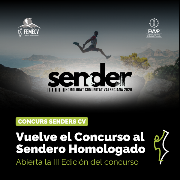
Vuelve el Concurso al Sendero Homologado del Año
  • 23 de sep, 2026

Vuelve el Concurso al Sendero Homologado del Año

La FEMECV y la FVMP abren la III edición del concurso, con candidaturas hasta el 30 de octubre de 2026

Continue reading
See more

Outstanding trails

trail image

PR-CV 24 QUATRETONDETA - PLA DE LA CASA

Promoter: Diputación de Alicante

Certification status: Positive quality control

Reference municipality: Quatretondeta Length: 5,60 km Estimated walking time: 02:40:00 Elevation gain: 765 m Elevation loss: 35 m
(22)
trail image

GR 92 E22 TORREVIEJA - PILAR DE LA HORADADA

Promoter: CONVEGA - Consorcio para el Desarrollo Económico de la Vega Baja

Certification status: Valid

Etapa número: 22

Reference municipality: Torrevieja Length: 21,40 km Estimated walking time: 05:40:00 Elevation gain: 160 m Elevation loss: 160 m
(67)
trail image

SL-CV 177 CAMINO ANTIGUO DE SEGORBE

Promoter: Ayuntamiento de Arañuel

Certification status: Valid

Reference municipality: Arañuel Length: 2,30 km Estimated walking time: 00:55:00 Elevation gain: 250 m Elevation loss: 10 m
(0)
trail image

SL-CV 189 SUBIDA AL CASTILLO DE VILLAMALUR

Promoter: Ayuntamiento de Villamalur

Certification status: Valid

Reference municipality: Villamalur Length: 0,30 km Estimated walking time: 00:10:00 Elevation gain: 65 m Elevation loss: 0 m
(0)

Top rated trails

trail image

SL-CV 197 SENDERO DEL BUEY NEGRO

Promoter: Ayuntamiento de Ludiente

Certification status: Valid

Reference municipality: Ludiente Length: 6,20 km Estimated walking time: 02:20:00 Elevation gain: 370 m Elevation loss: 370 m
(6)
trail image

PR-CV 441 MIRADOR DE LA VEGA

Promoter: CONVEGA - Consorcio para el Desarrollo Económico de la Vega Baja

Certification status: Positive quality control

Reference municipality: Redován Length: 20,60 km Estimated walking time: 06:35:00 Elevation gain: 685 m Elevation loss: 685 m
(5)
trail image

PR-CV 277 PENYA EL FRARE

Promoter: Ayuntamiento de Muro de Alcoy

Certification status: No quality controls

Reference municipality: Muro d'Alcoi Length: 10,00 km Estimated walking time: 03:25:00 Elevation gain: 420 m Elevation loss: 420 m
(4)
trail image

PR-CV 336 SENDA DE LA LLOMA

Promoter: Ayuntamiento de Cullera

Certification status: Positive quality control

Reference municipality: Cullera Length: 14,00 km Estimated walking time: 03:55:00 Elevation gain: 420 m Elevation loss: 420 m
(3)
See more