ES / EN / VA

Top rated trails

Beware!. All the information on this website refers to the date of approval or the date of the last quality control of each trail, in which the FEMECV checked its conformity. The hiker should bear in mind that after these dates there may have been a deficit in signposting and maintenance, for which the promoting entity is responsible.
In addition, mountain sports involve risks derived from the activity itself and the environment in which they are carried out, which are fully assumed by each athlete, for which they must be trained, planned, properly equipped and make responsible use of the trails.
If you have used a trail and have encountered a problem or see that some information is missing, you can contact the FEMECV through the contact form on the website.

trail image

PR-CV 7 BÈRNIA

Promoter: Ayuntamiento de Altea

Certification status: Positive quality control

Reference municipality: Altea Length: 18,10 km Estimated walking time: 07:45:00 Elevation gain: 1.085 m Elevation loss: 1.085 m
(9)
trail image

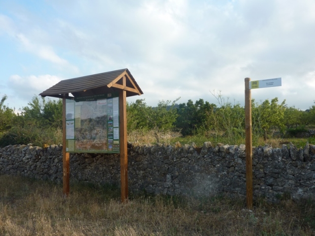
PR-CV 24 QUATRETONDETA - PLA DE LA CASA

Promoter: Diputación de Alicante

Certification status: Positive quality control

Reference municipality: Quatretondeta Length: 5,60 km Estimated walking time: 02:40:00 Elevation gain: 765 m Elevation loss: 35 m
(7)
trail image

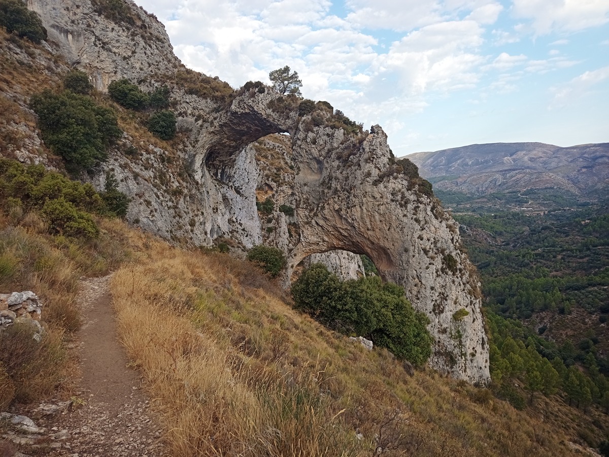
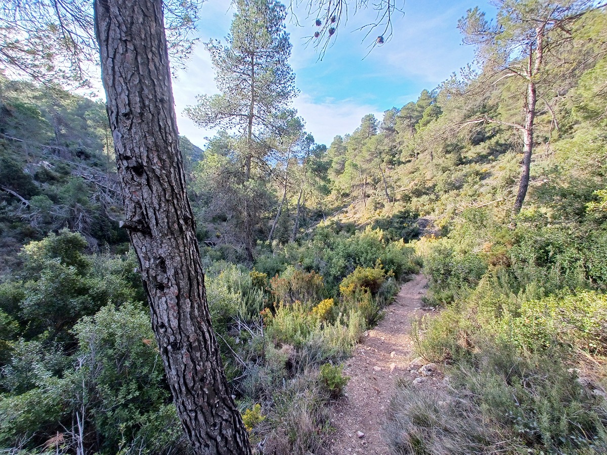
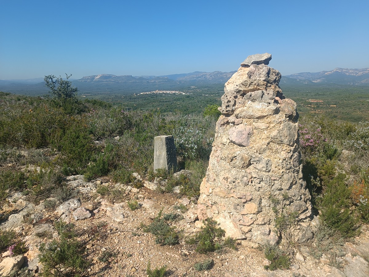
PR-CV 277 PENYA EL FRARE

Promoter: Ayuntamiento de Muro de Alcoy

Certification status: No quality controls

Reference municipality: Muro d'Alcoi Length: 10,00 km Estimated walking time: 03:25:00 Elevation gain: 420 m Elevation loss: 420 m
(4)
trail image

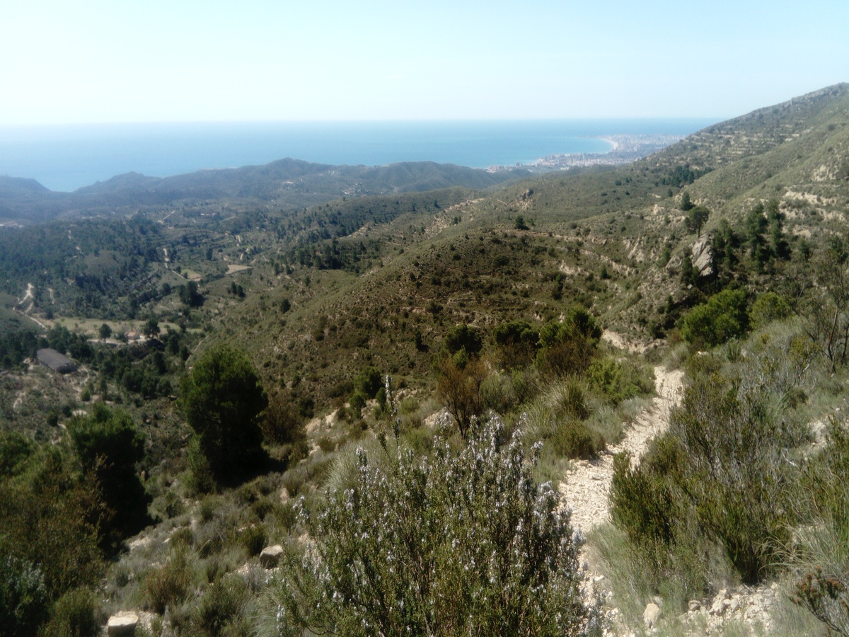
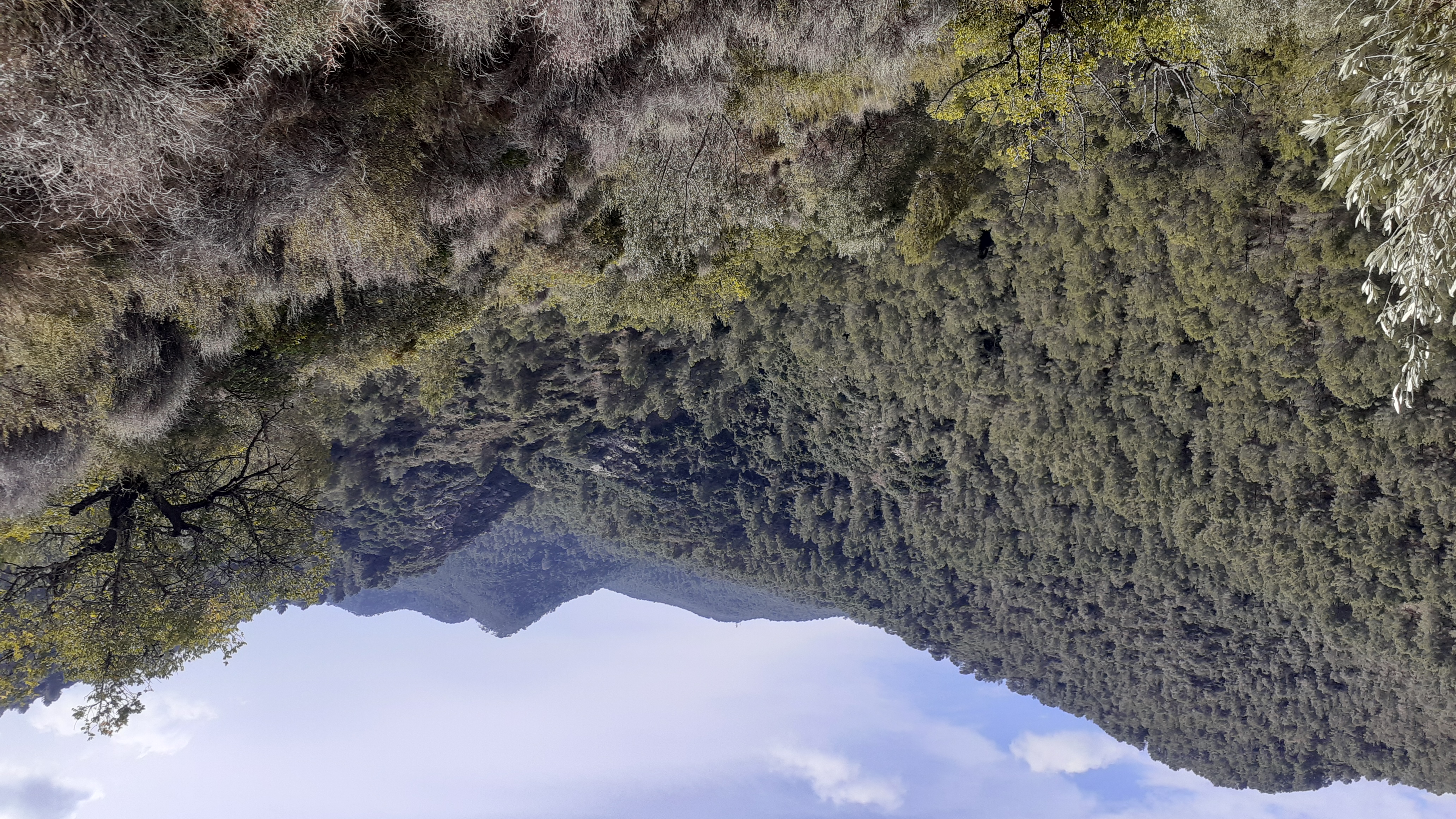
PR-CV 340 SENDER AL CIM D'OLTA

Promoter: Ayuntamiento de Calp

Certification status: No quality controls

Reference municipality: Calpe/Calp Length: 9,30 km Estimated walking time: 03:25:00 Elevation gain: 515 m Elevation loss: 515 m
(3)
trail image

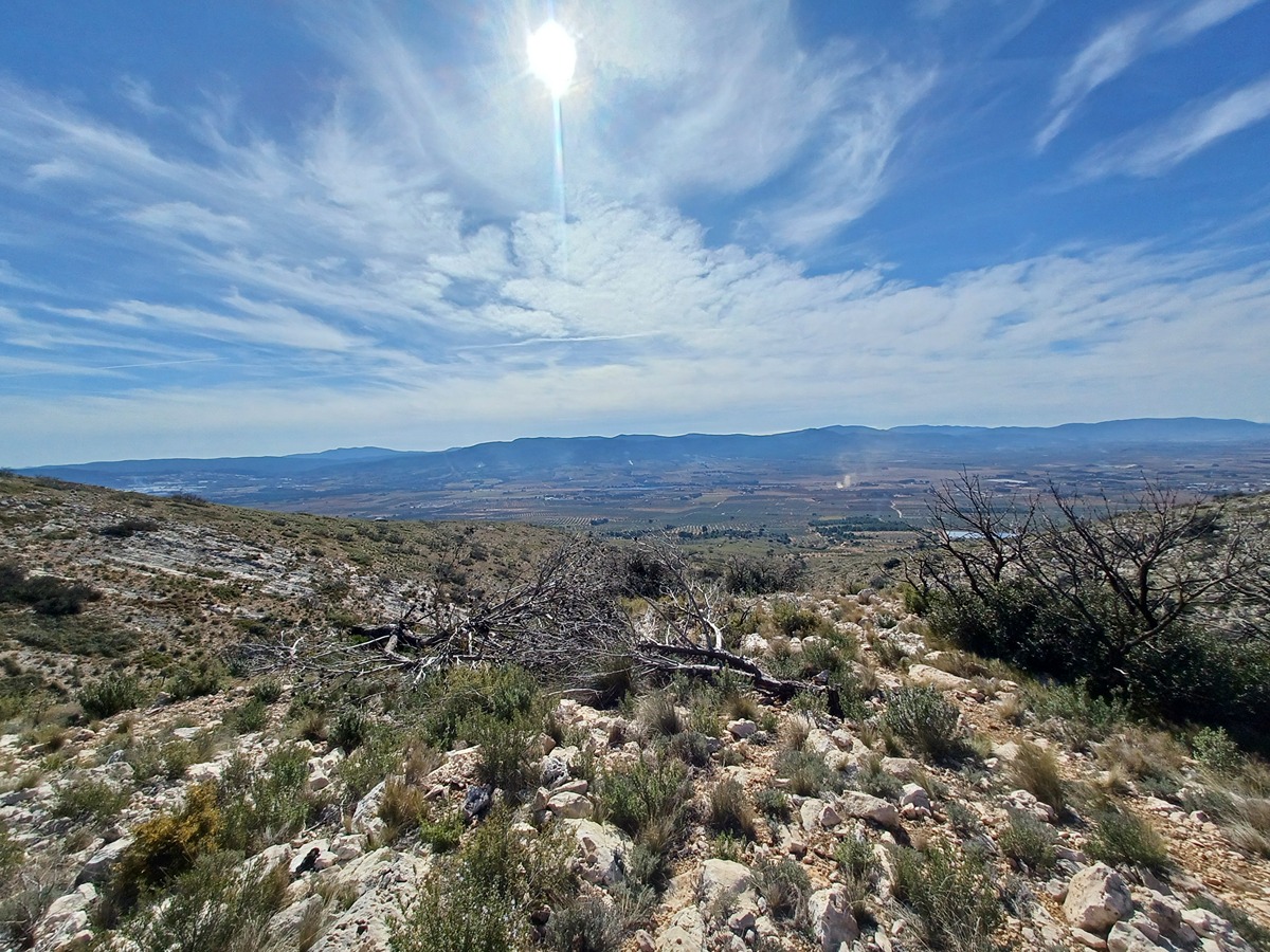
PR-CV 52.3 SENDA DE LA LLOMA PRIMA

Promoter: Grup de Muntanya Beneixama

Certification status: Positive quality control

Reference municipality: Beneixama Length: 4,80 km Estimated walking time: 01:30:00 Elevation gain: 360 m Elevation loss: 40 m
(2)
trail image

PR-CV 295 RUTA DEL RÍO CÉRVOL Y SUS MOLINOS

Promoter: Ayuntamiento de Canet lo Roig

Certification status: Conditioned quality control

Reference municipality: Canet lo Roig Length: 14,60 km Estimated walking time: 04:10:00 Elevation gain: 245 m Elevation loss: 245 m
(2)
trail image

PR-CV 441 MIRADOR DE LA VEGA

Promoter: Consorcio para el Desarrollo Económico de la Vega Baja

Certification status: No quality controls

Reference municipality: Redován Length: 20,60 km Estimated walking time: 06:35:00 Elevation gain: 685 m Elevation loss: 685 m
(2)
trail image

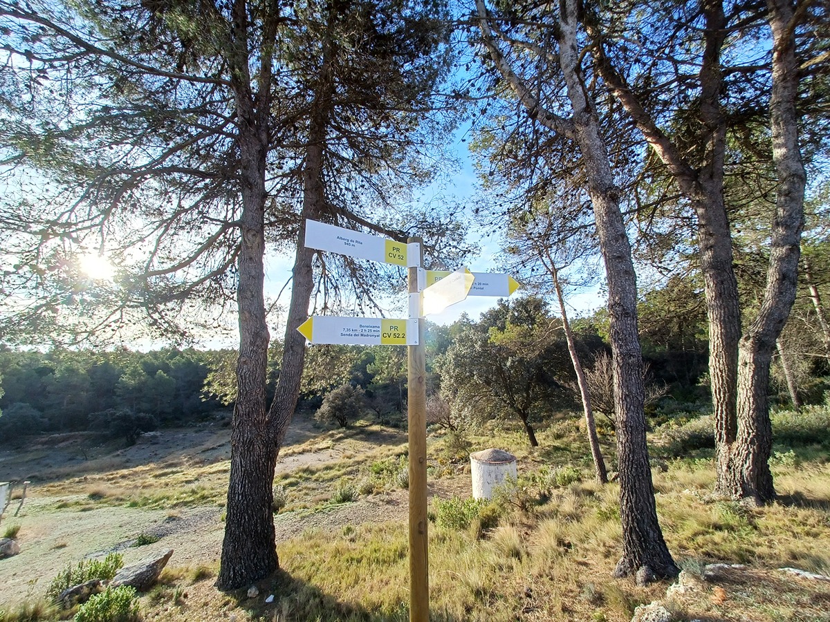
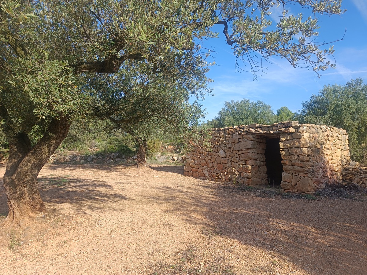
PR-CV 52.2 SENDA DEL MADRONYAL

Promoter: Grup de Muntanya Beneixama

Certification status: Positive quality control

Reference municipality: Beneixama Length: 3,80 km Estimated walking time: 01:15:00 Elevation gain: 290 m Elevation loss: 45 m
(2)
trail image

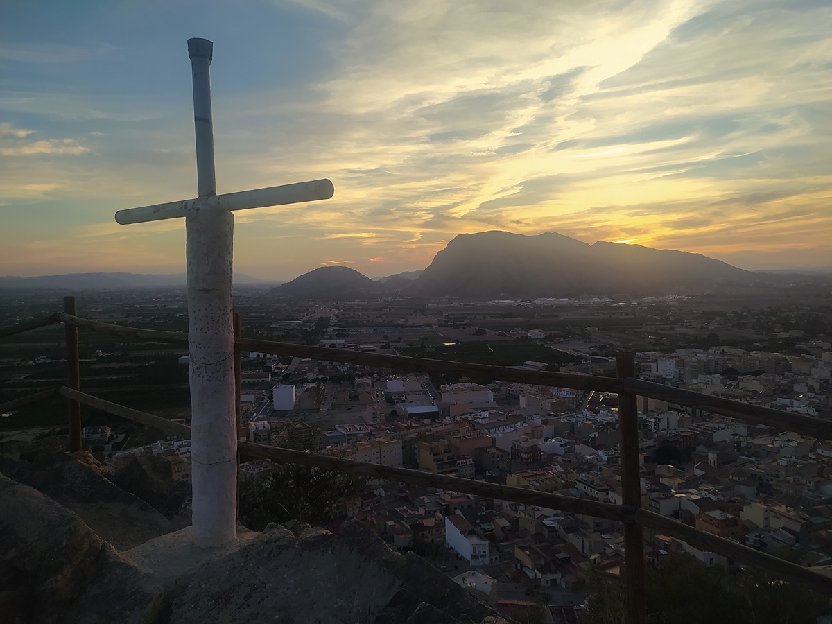
PR-CV 52.1 SENDA DELS AVIONS

Promoter: Grup de Muntanya Beneixama

Certification status: Positive quality control

Reference municipality: Beneixama Length: 4,30 km Estimated walking time: 01:10:00 Elevation gain: 60 m Elevation loss: 285 m
(2)
trail image

PR-CV 243 CAMÍ DE LA BACORERA

Promoter: Ayuntamiento de Aigües

Certification status: Positive quality control

Reference municipality: Aigües Length: 8,90 km Estimated walking time: 03:05:00 Elevation gain: 425 m Elevation loss: 425 m
(2)
trail image

SL-CV 23 SENDA DE LA TANCÀ

Promoter: Centre Excursionista de Estivella

Certification status: No quality controls

Reference municipality: Estivella Length: 6,30 km Estimated walking time: 02:10:00 Elevation gain: 410 m Elevation loss: 120 m
(2)
trail image

PR-CV 336 SENDA DE LA LLOMA

Promoter: Ayuntamiento de Cullera

Certification status: Positive quality control

Reference municipality: Cullera Length: 13,50 km Estimated walking time: 03:55:00 Elevation gain: 420 m Elevation loss: 420 m
(2)
trail image

PR-CV 296 RUTA DE LA SIERRA DE SANT PERE

Promoter: Ayuntamiento de Canet lo Roig

Certification status: Conditioned quality control

Reference municipality: Canet lo Roig Length: 13,50 km Estimated walking time: 04:20:00 Elevation gain: 440 m Elevation loss: 440 m
(2)
trail image

SL-CV 68 SENDA DEL BLANQUISSAR

Promoter: Ayuntamiento de Estivella

Certification status: Conditioned quality control

Reference municipality: Estivella Length: 4,30 km Estimated walking time: 01:40:00 Elevation gain: 395 m Elevation loss: 70 m
(2)
trail image

PR-CV 355 PORT DE XÀBIA - MONTGÓ

Promoter: Ayuntamiento de Jávea

Certification status: No quality controls

Reference municipality: Xàbia/Jávea Length: 14,70 km Estimated walking time: 05:15:00 Elevation gain: 1.070 m Elevation loss: 325 m
(1)
trail image

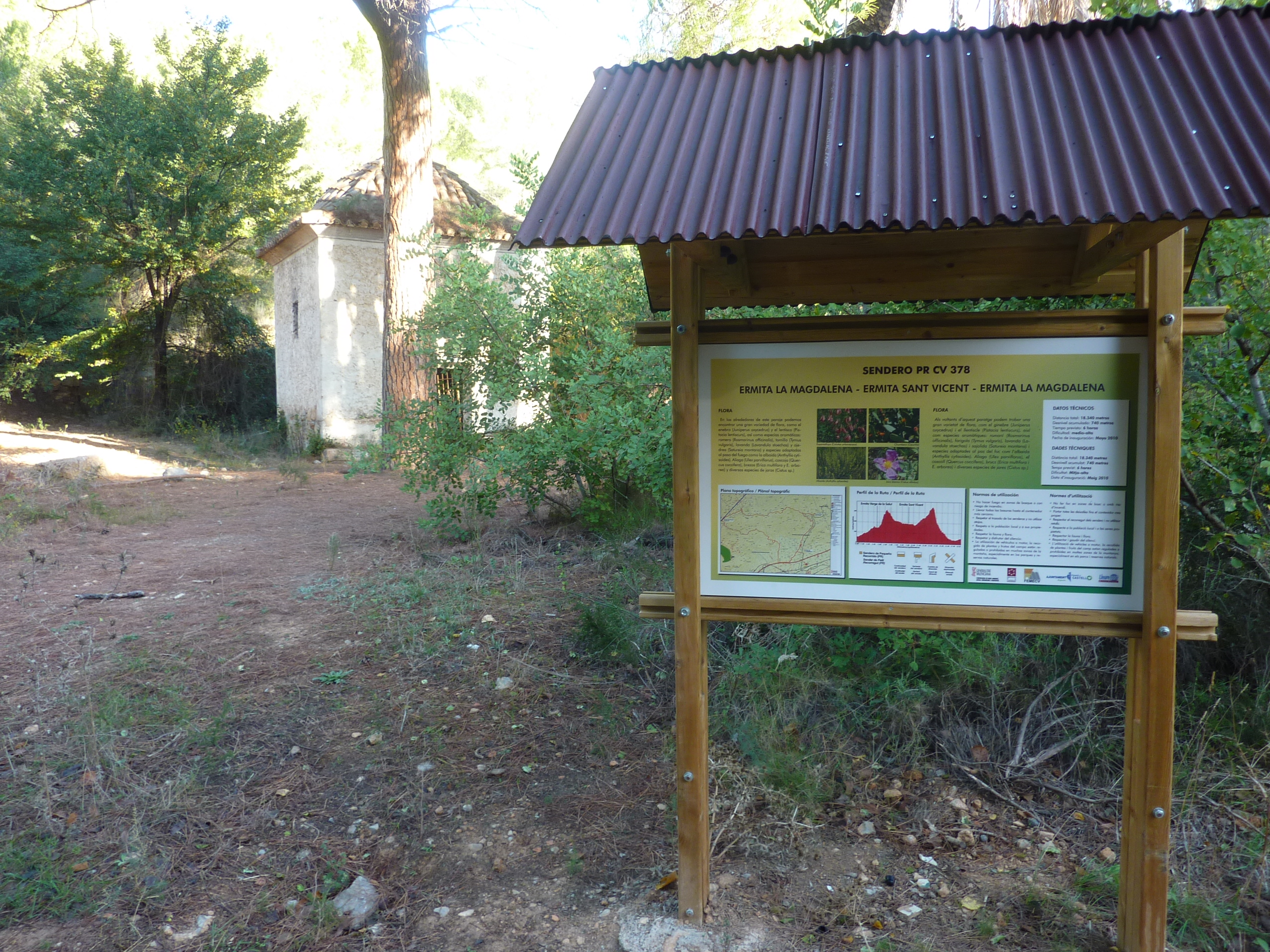
PR-CV 378 MAGDALENA - FONT SALUT - SAN VICENT DE BORRIOL - BARRANC D'OLARIA - VÍA PECUARIA - MAGDALENA

Promoter: Ayuntamiento de Castelló de la Plana

Certification status: No quality controls

Reference municipality: Castelló de la Plana Length: 15,60 km Estimated walking time: 04:55:00 Elevation gain: 490 m Elevation loss: 490 m
(1)
trail image

PR-CV 405 CAMINOS DEL SEÑORÍO DE VILAR DE CANES

Promoter: Ayuntamiento de Vilar de Canes

Certification status: No quality controls

Reference municipality: Vilar de Canes Length: 10,00 km Estimated walking time: 03:05:00 Elevation gain: 280 m Elevation loss: 280 m
(1)
trail image

PR-CV 445 SENDERO DEL SEGUILI

Promoter: Ayuntamiento de Benidoleig

Certification status: No quality controls

Reference municipality: Benidoleig Length: 11,68 km Estimated walking time: 04:05:00 Elevation gain: 470 m Elevation loss: 470 m
(1)
trail image

PR-CV 459.1 BARRANC DEL DIABLE

Promoter: Ayuntamiento de Oropesa del Mar

Certification status: No quality controls

Reference municipality: Oropesa del Mar/Orpesa Length: 2,40 km Estimated walking time: 01:15:00 Elevation gain: 360 m Elevation loss: 5 m
(1)
trail image

PR-CV 134 FONT JORDANA (AGULLENT) - FONT DE BAIX (AGRES)

Promoter: Ayuntamiento de Agullent

Certification status: Positive quality control

Reference municipality: Agullent Length: 7,90 km Estimated walking time: 02:40:00 Elevation gain: 575 m Elevation loss: 285 m
(1)
trail image

PR-CV 151 ELS ARCS

Promoter: Diputación de Alicante

Certification status: Positive quality control

Reference municipality: Castell de Castells Length: 6,90 km Estimated walking time: 03:00:00 Elevation gain: 205 m Elevation loss: 205 m
(1)