
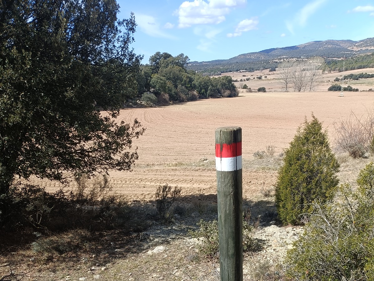
GR 7 E30 VISTABELLA DEL MAESTRAT - VILLAHERMOSA DEL RÍO
Promoter: Generalitat Valenciana
Certification status: Positive quality control
0 reviews
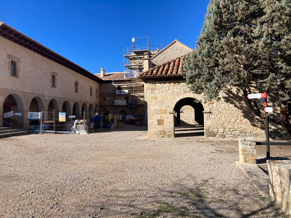
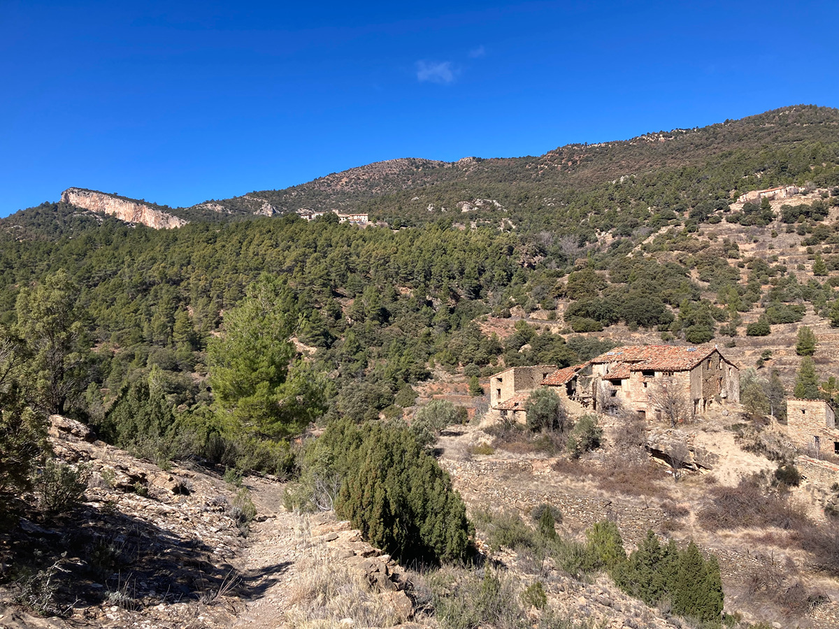
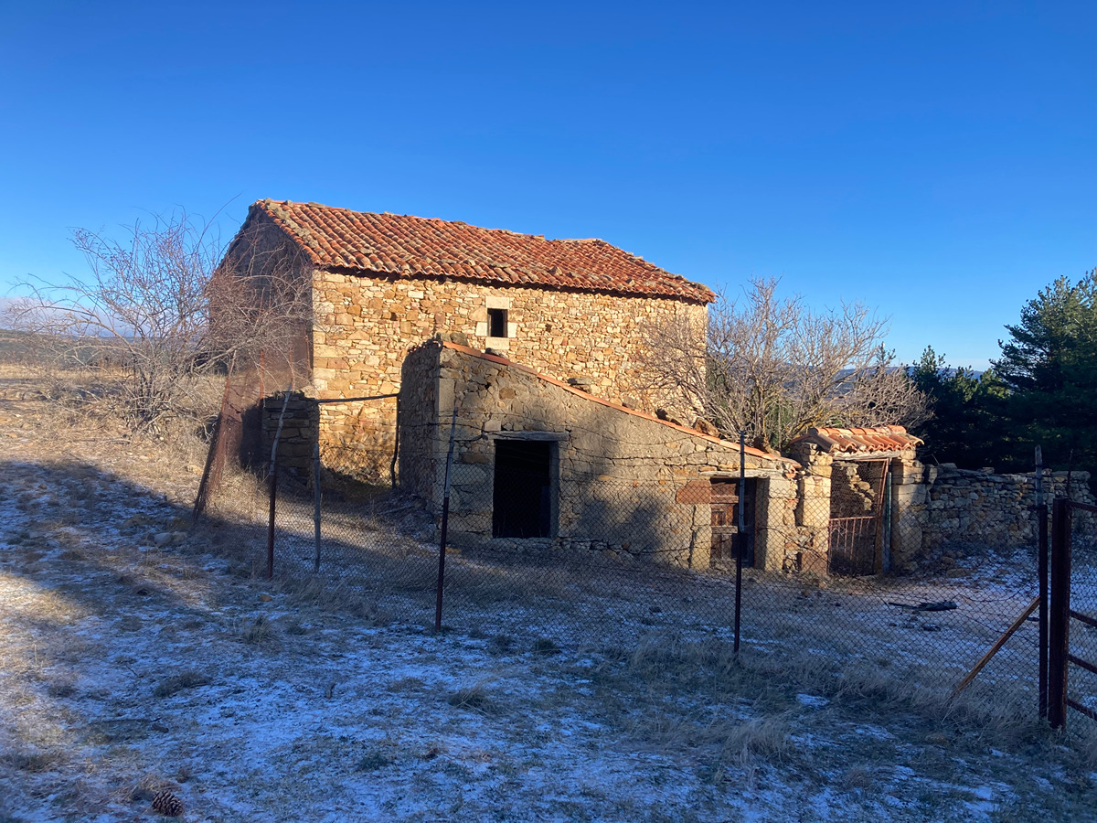
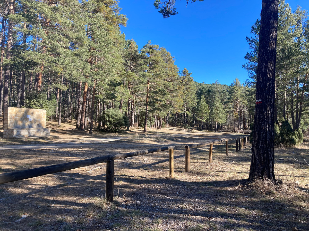
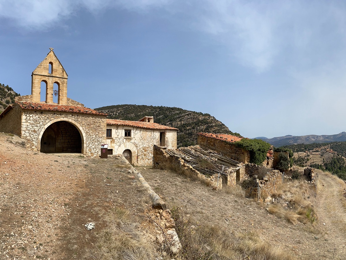
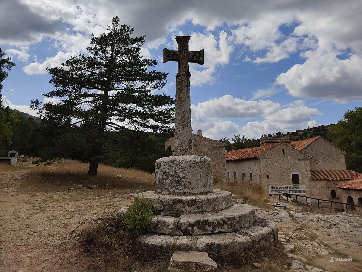
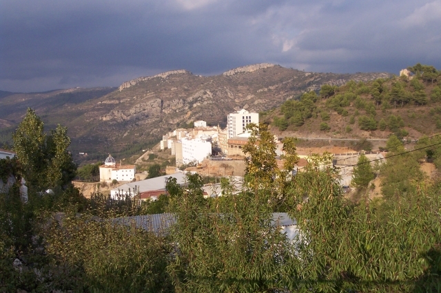
The route runs through one of the most beautiful and spectacular stages of the GR 7. From its start in the historical buildings of Vistabella del Maestrat and the chapel of Sant Joan de Penyagolosa or the town of Villahermosa del Río, with its densely packed buildings, the Carbo river basin offers a wide variety of unique attractions.
Trail:
One way (point-to-point)
Main

GR 7 COMUNITAT VALENCIANA. FREDES - EL PINÓS/PINOSO
Promoter: Generalitat Valenciana
Certification status: See stages
Reference municipality: Pobla de Benifassà (La)
Length: 586,60 km
Estimated walking time: 180:35:00
Elevation gain: 17.635 m
Elevation loss: 18.585 m
(0)
Previos stage
GR 7 E29 CULLA - VISTABELLA DEL MAESTRAT
Promoter: Generalitat Valenciana
Certification status: Positive quality control
Etapa número: 29
Reference municipality: Culla
Length: 18,90 km
Estimated walking time: 06:25:00
Elevation gain: 879 m
Elevation loss: 680 m
(0)
Next stage
GR 7 E31 VILLAHERMOSA DEL RÍO - SAN VICENTE DE PIEDRAHITA
Promoter: Generalitat Valenciana
Certification status: Positive quality control
Etapa número: 31
Reference municipality: Villahermosa del Río
Length: 12,10 km
Estimated walking time: 03:55:00
Elevation gain: 480 m
Elevation loss: 325 m
(0)
Other trails connecting with this trail
GR 33 E07 XODOS - SANT JOAN DE PENYAGOLOSA
Promoter: Diputación de Castellón
Certification status: Positive quality control
Etapa número: 7
Reference municipality: Chodos/Xodos
Length: 6,70 km
Estimated walking time: 02:00:00
Elevation gain: 420 m
Elevation loss: 215 m
(1)
PR-CV 79 LUCENA DEL CID - SANT JOAN DE PENYAGOLOSA
Promoter: Ayuntamiento de Lucena del Cid
Certification status: No quality controls
Reference municipality: Lucena del Cid/Llucena
Length: 21,83 km
Estimated walking time: 09:15:00
Elevation gain: 1.200 m
Elevation loss: 520 m
(0)