
GR 7 E31 VILLAHERMOSA DEL RÍO - SAN VICENTE DE PIEDRAHITA
Promoter: Generalitat Valenciana
Certification status: Positive quality control
0 reviews
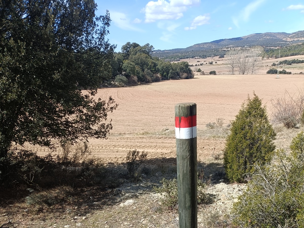
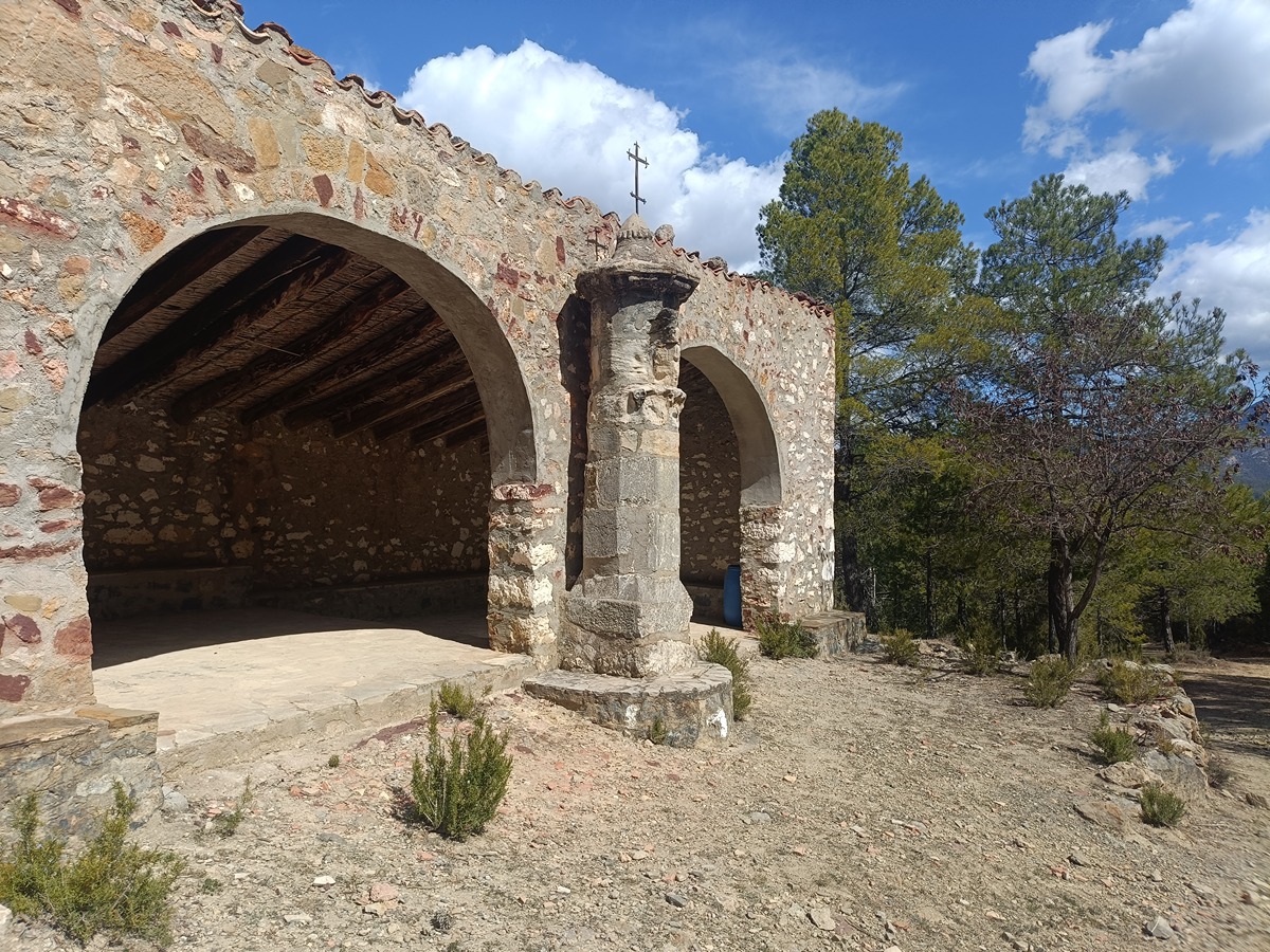
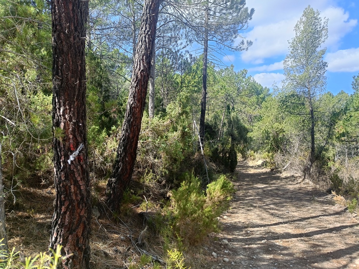
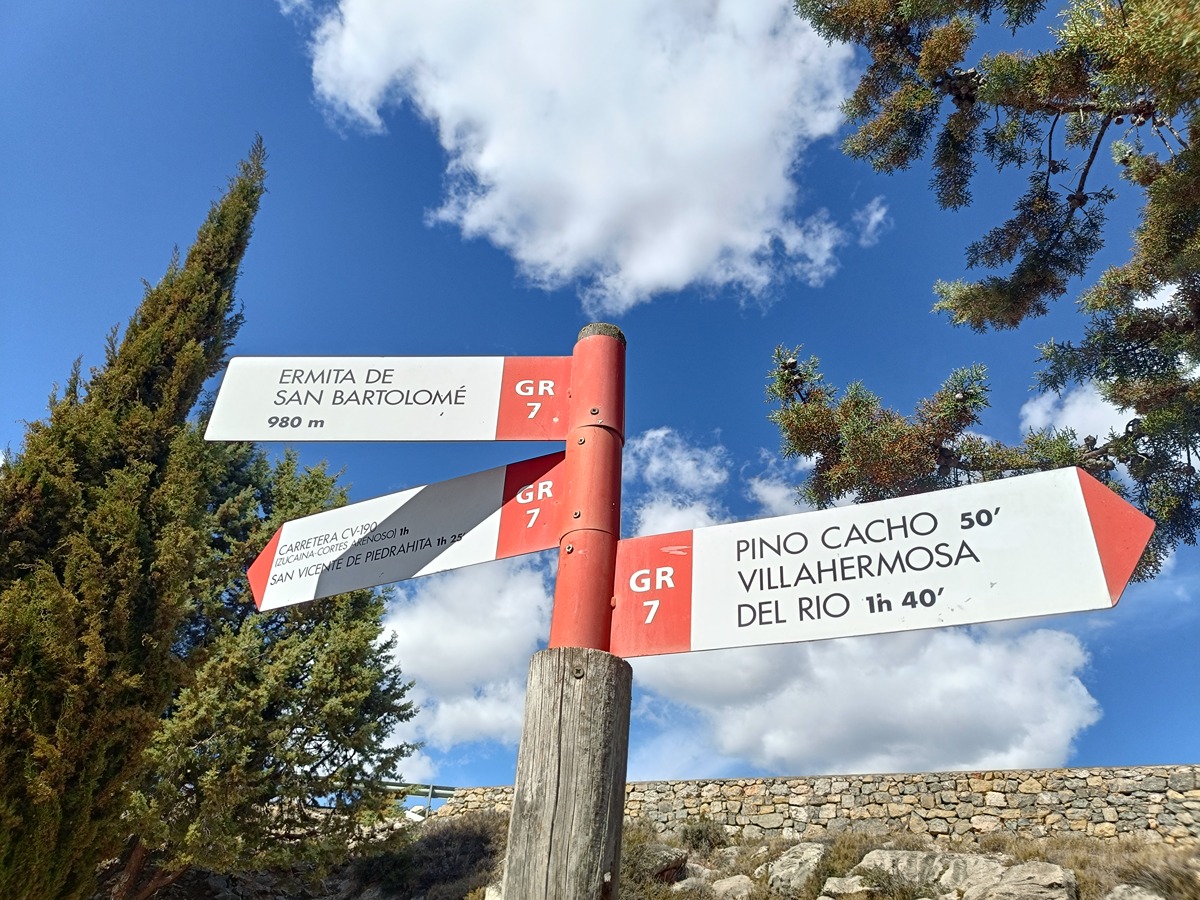
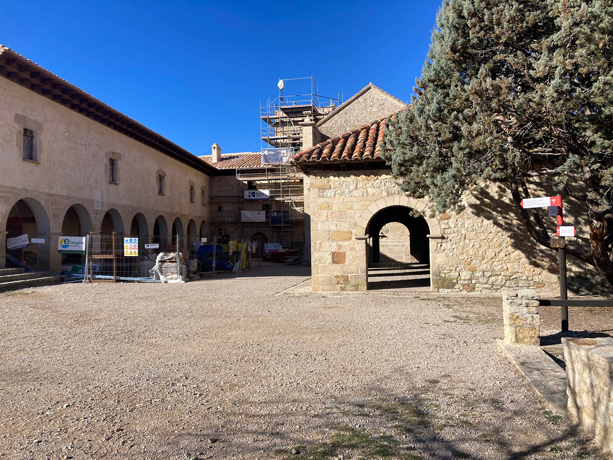
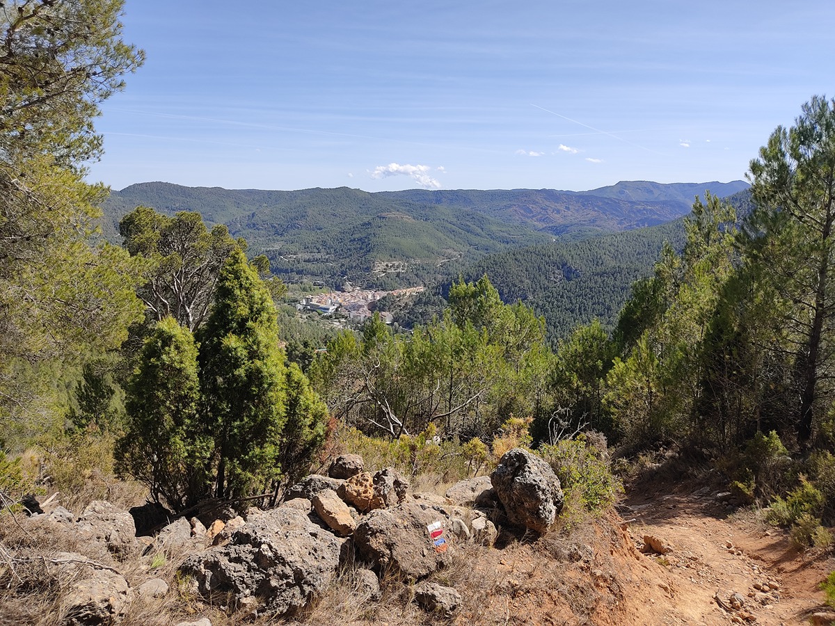
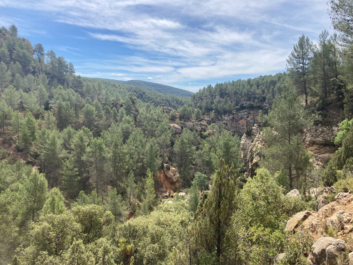
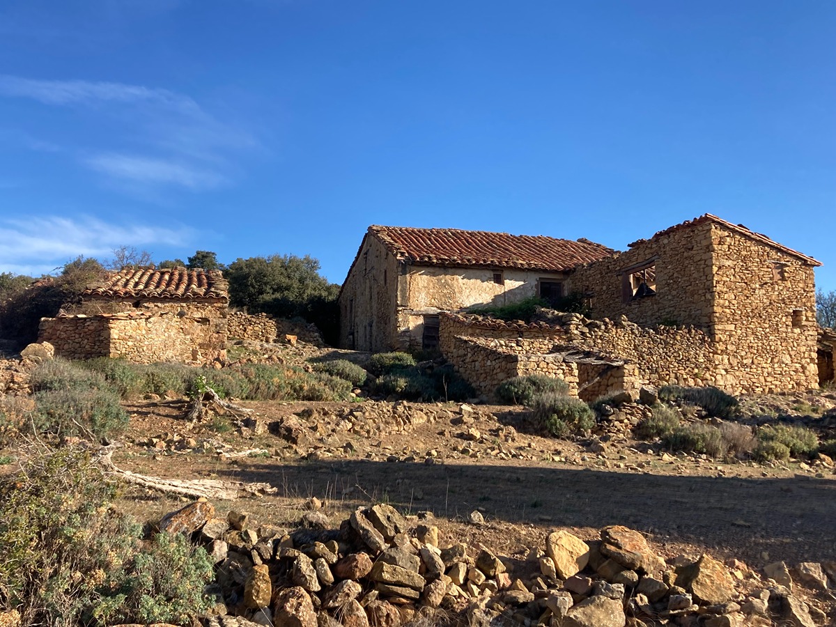
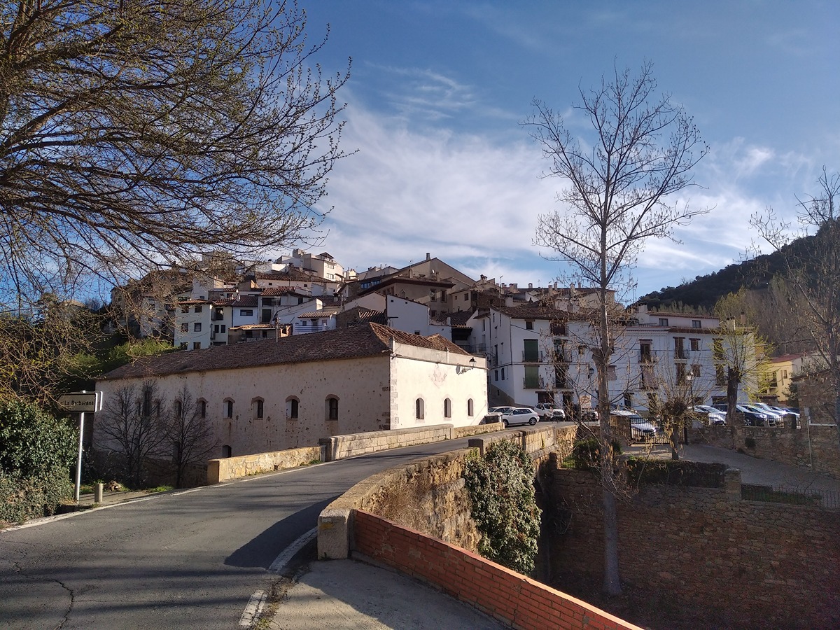
This stage starts in the town of Villahermosa del Río and initially takes you to the Cacho pine tree. Further on, it goes through a Portuguese oak forest to the chapel of San Bartolomé, with its recreational area, and from here, through abandoned farmland, to the town of San Vicente de Piedrahita.
Trail:
One way (point-to-point)
Main

GR 7 COMUNITAT VALENCIANA. FREDES - EL PINÓS/PINOSO
Promoter: Generalitat Valenciana
Certification status: See stages
Reference municipality: Pobla de Benifassà (La)
Length: 586,60 km
Estimated walking time: 180:35:00
Elevation gain: 17.635 m
Elevation loss: 18.585 m
(0)
Previos stage
GR 7 E30 VISTABELLA DEL MAESTRAT - VILLAHERMOSA DEL RÍO
Promoter: Generalitat Valenciana
Certification status: Positive quality control
Etapa número: 30
Reference municipality: Vistabella del Maestrat
Length: 19,60 km
Estimated walking time: 06:10:00
Elevation gain: 395 m
Elevation loss: 935 m
(0)
Next stage
GR 7 E32 SAN VICENTE DE PIEDRAHITA - MONTANEJOS
Promoter: Generalitat Valenciana
Certification status: Positive quality control
Etapa número: 32
Reference municipality: Cortes de Arenoso
Length: 14,50 km
Estimated walking time: 05:05:00
Elevation gain: 540 m
Elevation loss: 925 m
(0)
Other trails connecting with this trail
PR-CV 111.2 CORTES DE ARENOSO - SAN VICENTE DE PIEDRAHITA (POR EL REBOLLAR)
Promoter: Ayuntamiento de Cortes de Arenoso
Certification status: Positive quality control
Reference municipality: Cortes de Arenoso
Length: 8,40 km
Estimated walking time: 02:45:00
Elevation gain: 240 m
Elevation loss: 380 m
(107)
PR-CV 111.1 CORTES DE ARENOSO - SAN VICENTE DE PIEDRAHITA
Promoter: Ayuntamiento de Cortes de Arenoso
Certification status: Conditioned quality control
Reference municipality: Cortes de Arenoso
Length: 13,10 km
Estimated walking time: 03:25:00
Elevation gain: 325 m
Elevation loss: 455 m
(1)
PR-CV 111.3 CORTES DE ARENOSO - SAN VICENTE DE PIEDRAHITA (POR EL MAS DE MATEVA)
Promoter: Ayuntamiento de Cortes de Arenoso
Certification status: Negative quality control
Reference municipality: Cortes de Arenoso
Length: 14,50 km
Estimated walking time: 03:55:00
Elevation gain: 335 m
Elevation loss: 465 m
(0)