ES / EN / VA

Rate this trail

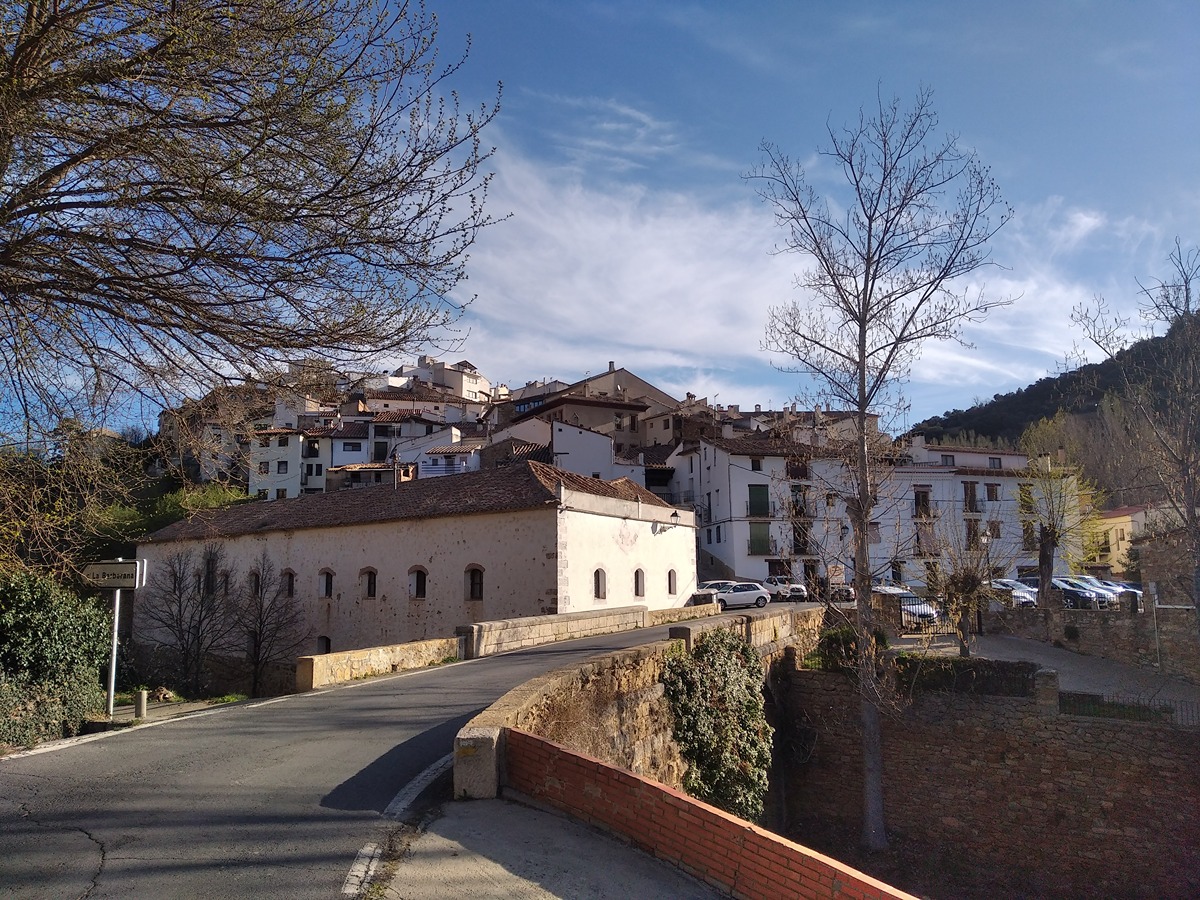
PR-CV 111.1 CORTES DE ARENOSO - SAN VICENTE DE PIEDRAHITA

Promoter: Ayuntamiento de Cortes de Arenoso

Certification status: Conditioned quality control

1 review

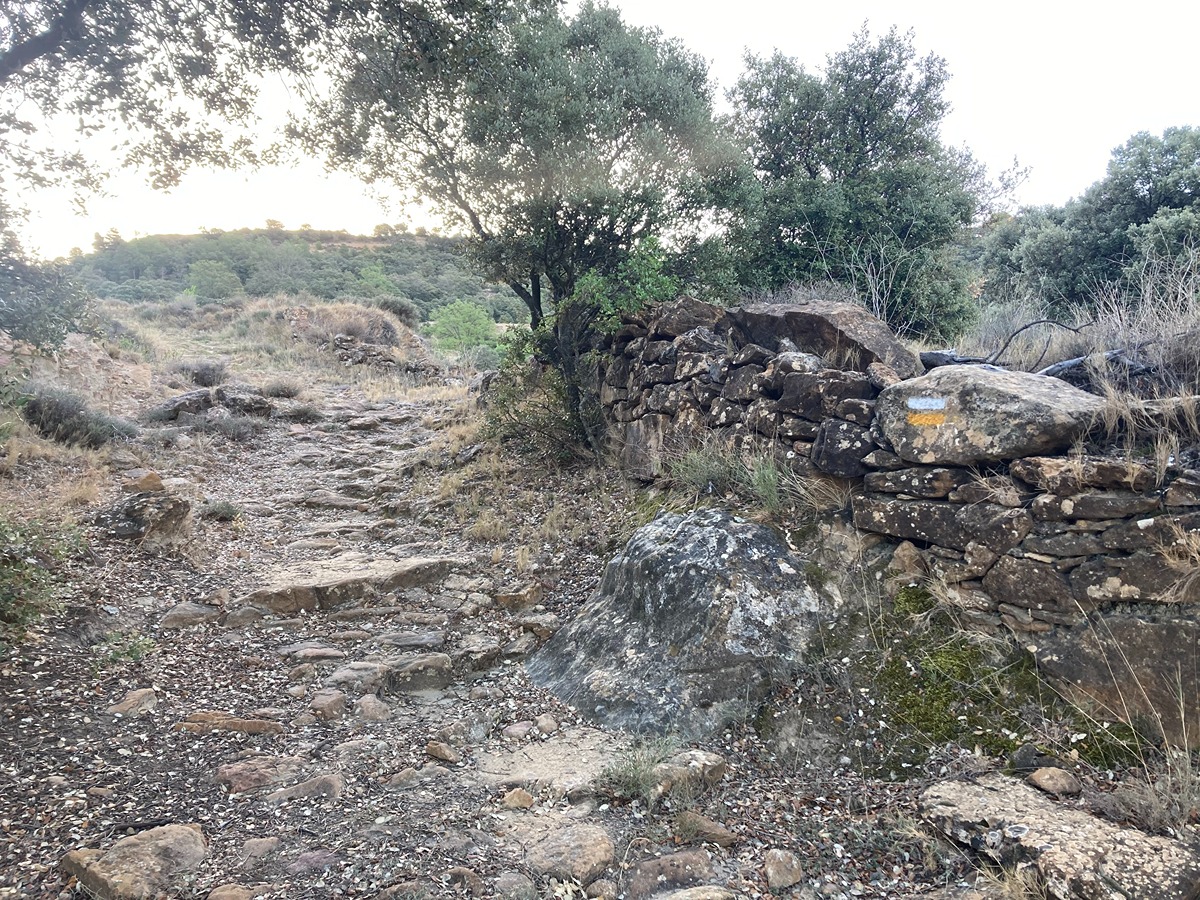
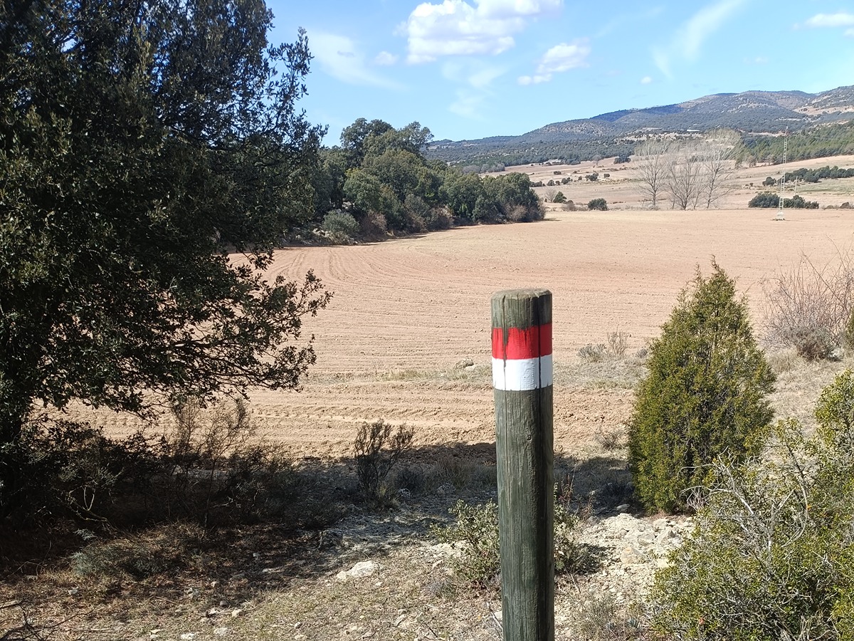
Following the inspection carried out by trail technicians, this trail has been declared of "limited adequacy" as a result of the faults detected in the signage. These include inadequate horizontal signs (paint markers) and/or vertical ones (trailheads and information boards) or lacking direction markers that do not provide sufficient information to properly follow the route. The builder of this trail has been informed of the situation.
For safety reasons and during maintenance work, it is advised to be extremely careful while taking this route. Furthermore, mountain sports entail risks associated with the activity itself and the environment where they take place, for which any person is fully liable. For this reason, hikes need to be planned properly and adequate training, equipment and sensible use of the trails are required.

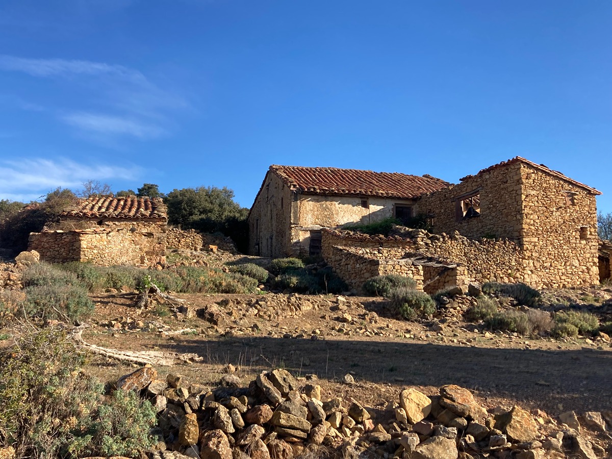
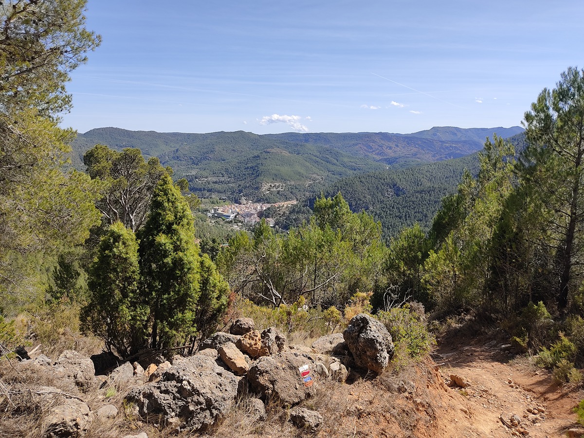
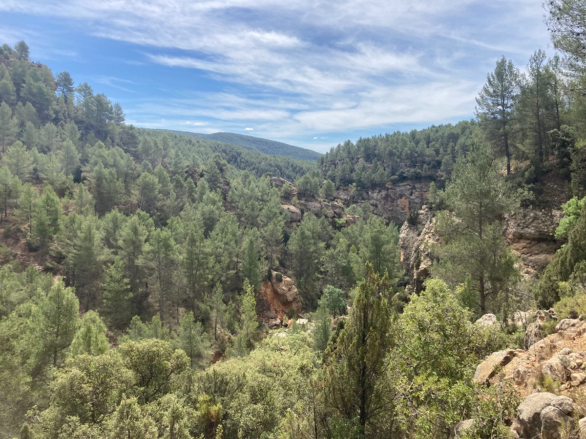
This trail goes through numerous country estates, native forests and springs of great beauty. In the Pellejas/Pelejas house you find a forest of centenary gall oaks, perhaps one of the oldest corners in Comunitat Valenciana.

Trail:
One way (point-to-point)
Technical data:
Length:
13,10 km
Estimated walking time:
03:25:00
Elevation gain:
325 m
Elevation loss:
455 m
MIDE ratings:
Level of natural risks:
1
Navigation on the trail:
2
Hiking difficulty:
2
Fitness level needed:
3

More information on Montaña Segura

Difficulty rating according to FEDME:
Unknown
Useful information:
Date of certification:
15-11-1997
Date of the last Quality Control:
may de 2023
Reference municipality:
District:
Province:
Castellón/Castelló
Cartography IGN MTN25:
0591-4, 0592-3, 0615-1

Downloadable from the Catalogue of the IGN Map Library

See other trails of this promoter:
Protected Natural Spaces:

We advise you to look up the regulations and/or authorisations for using the trails in these conservation areas on the website of the Conselleria de Medio Ambiente, Agua, Infraestructuras y Territorio

  • Penyagolosa (SIC - Site of Community Interest)
  • Penyagolosa (SPAB - Special Protection Area for Birds)
Key points of the route:

Cortes de Arenoso - Fuente la Balseta (spring) - Masía casa de Camales (estate) - Masía casa de Pellejas (estate) - Masía de la Garranchosa de Abajo (estate) - San Vicente de Piedrahita

Route description (only available in Spanish)

Salimos de Cortes de Arenoso desde la plaza del Ayuntamiento, subimos por la calle Mayor hacia la plaza de la Iglesia que dejamos a nuestra derecha. Seguimos hacia arriba hasta la próxima intersección, tomamos la calle a mano derecha y seguimos recto pasando por el portal de la calle Enmedio y bajamos rodeando la iglesia hasta la carretera. Cruzaremos para tomar un sendero que nos lleva al fondo del barranco, pasando por el río Podrido donde está la fuente de La Balseta. Dejamos la fuente a la izquierda para ir remontando el barranco. Al acabar el sendero nos encontramos con una pista que seguiremos por la derecha.

Avanzaremos por pista atravesando un encinar hasta un sendero que tomaremos. Llegamos a la masía Casa Camales y por la derecha llegaremos a un barranco. Tras cruzarlo llegamos a la masía Casa Pellejas. La bordeamos para dirigirnos al barranco de la Garranchosa. Pasaremos por una zona de árboles monumentales y tomamos una senda a la derecha para ir descendiendo y acercarnos al barranco. Llegaremos a la CV-190 y cruzando la carretera se desciende por un coscojal hasta un pinar. En este encontramos una pista que seguimos para descender a la masía de la Garganchosa de Abajo. Seguiremos la pista hacia abajo y la dejamos para seguir por sendero entrando por un pinar. Continuamos bajando hasta encontrarnos con una acequia la cual seguimos hasta encontrarnos con una pista asfaltada que seguimos girando a la izquierda llegando a la carretera. La tomaremos hasta encontrar una senda a la izquierda que atraviesa una torrentera. Tras un par de cruces de carretera llegamos a un peirón, pasamos por delante y abandonamos definitivamente el asfalto. Tras rebasar algunos campos de avellanos cruzamos un conjunto de granjas y dejamos a la derecha la piscina municipal. Terminamos el recorrido llegando a la plaza de San Vicente de Piedrahita.

Downloads:

Beware! Navigation devices may fail, batteries may run out of power and devices may break down. Do not use only electronic means to track your activities in the mountains; they must be used as a complement to the map and compass. Get some proper training and enjoy the mountains.

Other trails connecting with this trail