
PR-CV 111.2 CORTES DE ARENOSO - SAN VICENTE DE PIEDRAHITA (POR EL REBOLLAR)
Promoter: Ayuntamiento de Cortes de Arenoso
Certification status: Positive quality control
107 reviews
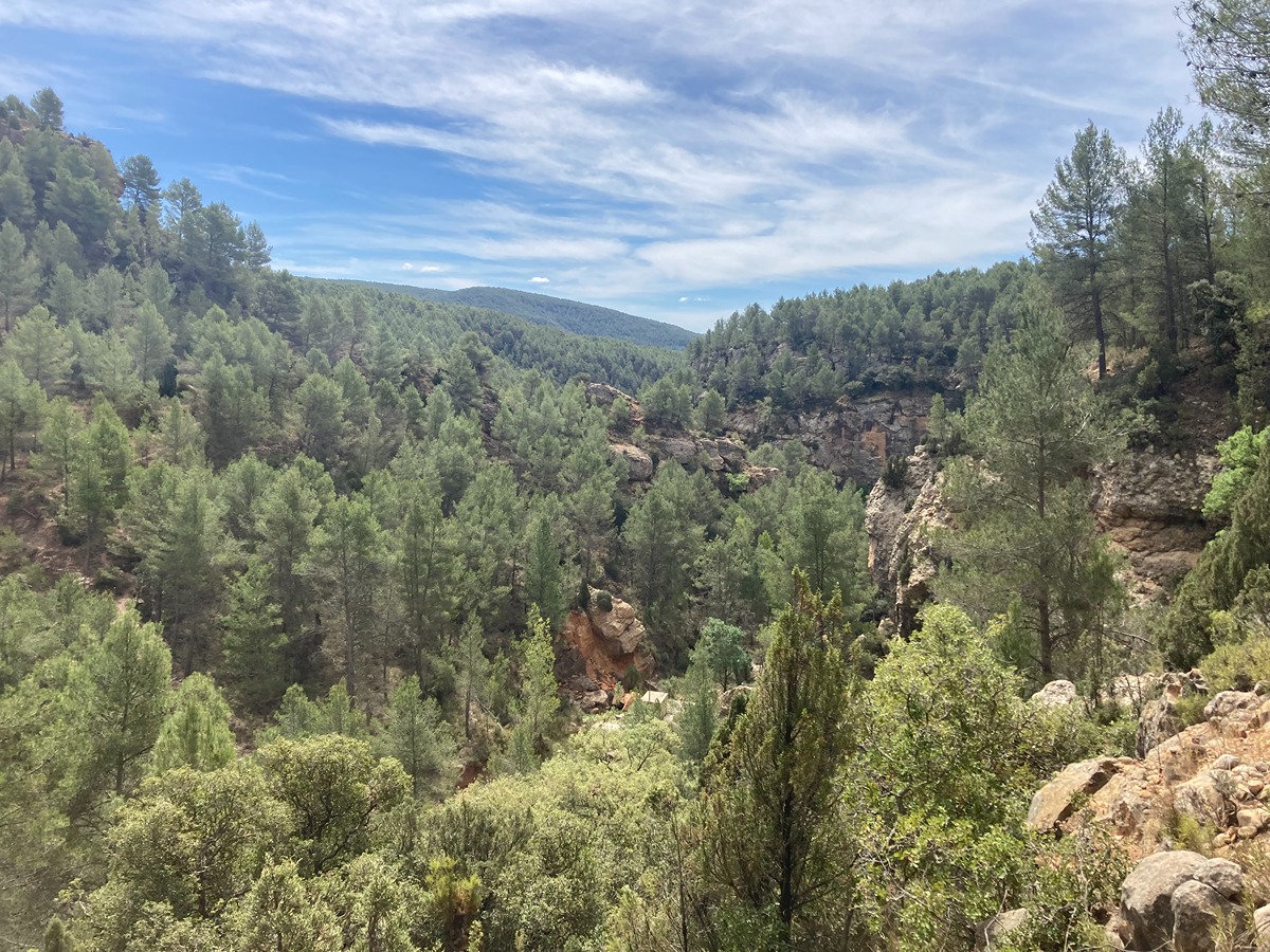
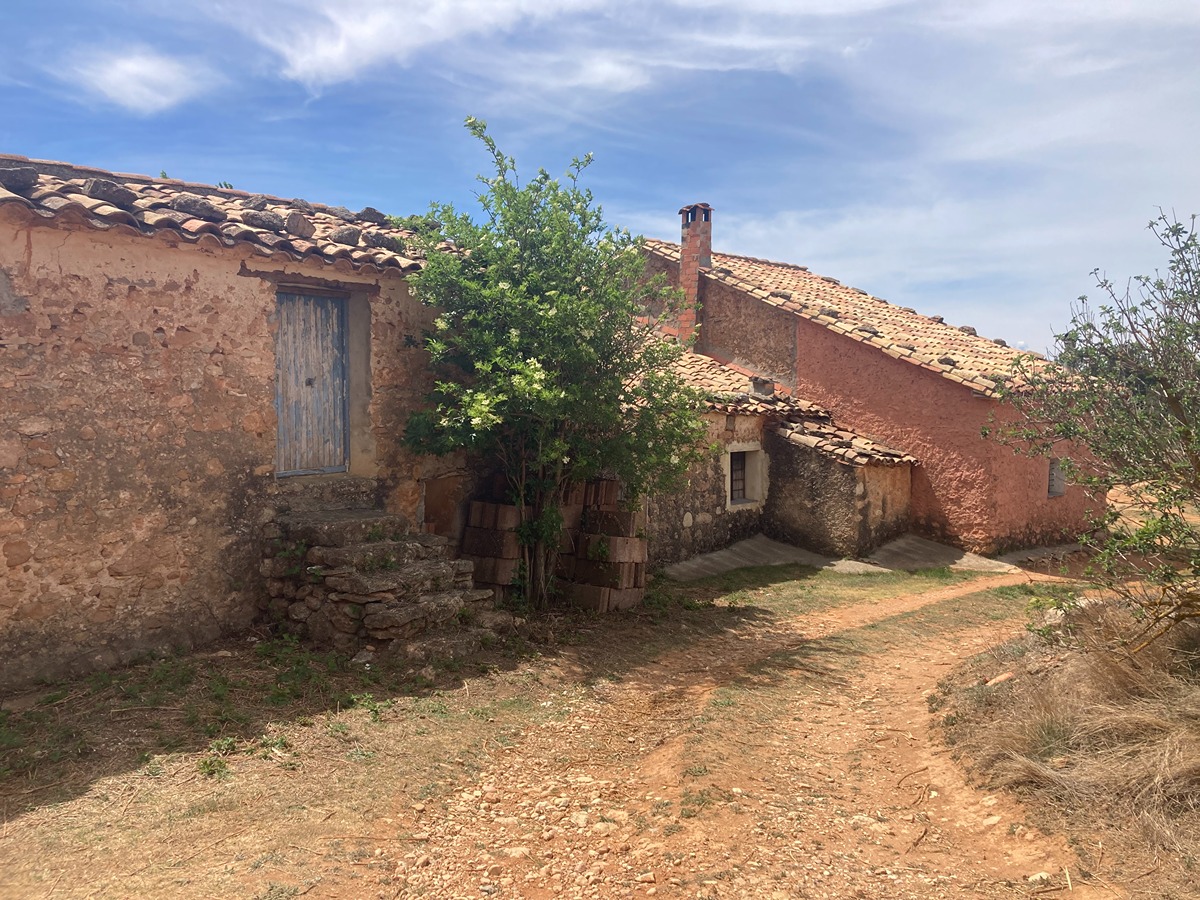
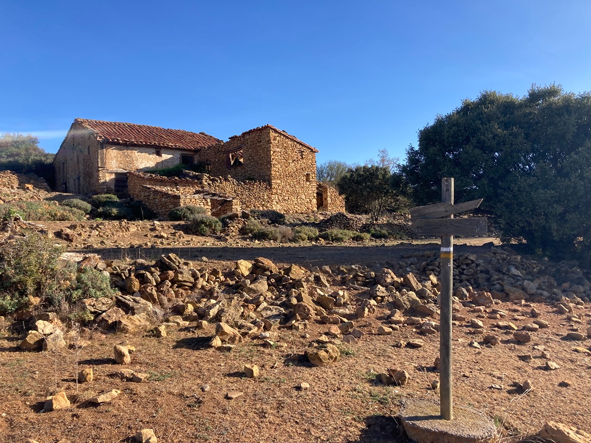
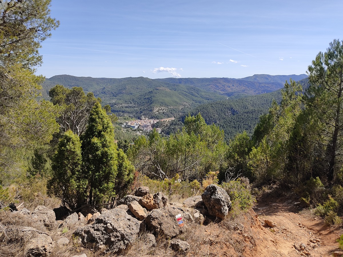
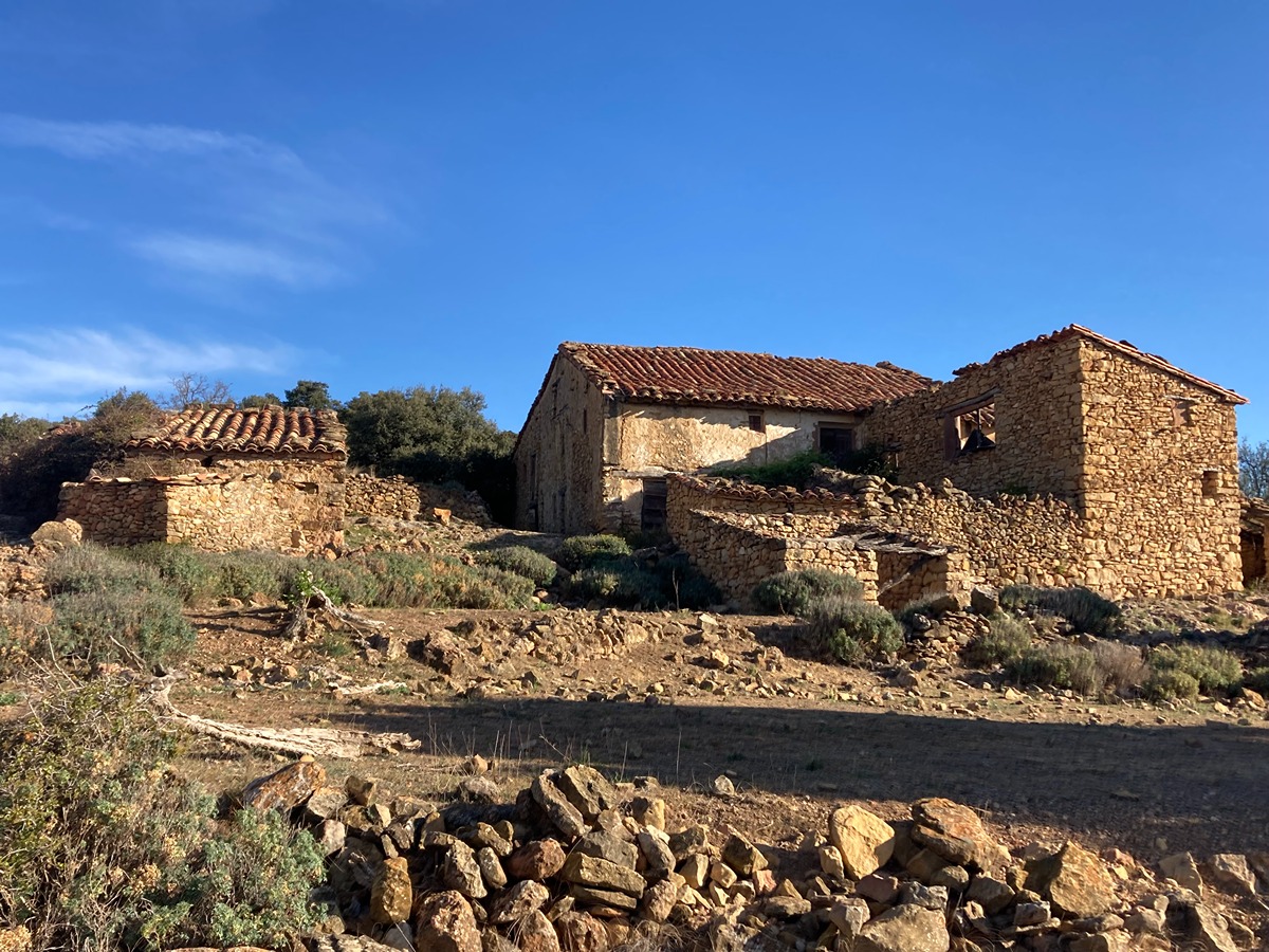
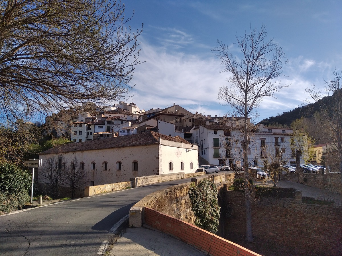
This trail goes through numerous country estates, typical Mediterranean forests (pine and holm oak woods) and the Langostillo ravine, which is home to important riverside vegetation, the Fuentes Calientes spring and the Roya cave.
Trail:
One way (point-to-point)
Other trails connecting with this trail
GR 7 E31 VILLAHERMOSA DEL RÍO - SAN VICENTE DE PIEDRAHITA
Promoter: Generalitat Valenciana
Certification status: Positive quality control
Etapa número: 31
Reference municipality: Villahermosa del Río
Length: 12,10 km
Estimated walking time: 03:55:00
Elevation gain: 480 m
Elevation loss: 325 m
(0)
GR 7 E32 SAN VICENTE DE PIEDRAHITA - MONTANEJOS
Promoter: Generalitat Valenciana
Certification status: Positive quality control
Etapa número: 32
Reference municipality: Cortes de Arenoso
Length: 14,50 km
Estimated walking time: 05:05:00
Elevation gain: 540 m
Elevation loss: 925 m
(0)

GR 7 COMUNITAT VALENCIANA. FREDES - EL PINÓS/PINOSO
Promoter: Generalitat Valenciana
Certification status: See stages
Reference municipality: Pobla de Benifassà (La)
Length: 586,60 km
Estimated walking time: 180:35:00
Elevation gain: 17.635 m
Elevation loss: 18.585 m
(0)
PR-CV 111.1 CORTES DE ARENOSO - SAN VICENTE DE PIEDRAHITA
Promoter: Ayuntamiento de Cortes de Arenoso
Certification status: Conditioned quality control
Reference municipality: Cortes de Arenoso
Length: 13,10 km
Estimated walking time: 03:25:00
Elevation gain: 325 m
Elevation loss: 455 m
(1)
PR-CV 111.3 CORTES DE ARENOSO - SAN VICENTE DE PIEDRAHITA (POR EL MAS DE MATEVA)
Promoter: Ayuntamiento de Cortes de Arenoso
Certification status: Negative quality control
Reference municipality: Cortes de Arenoso
Length: 14,50 km
Estimated walking time: 03:55:00
Elevation gain: 335 m
Elevation loss: 465 m
(0)