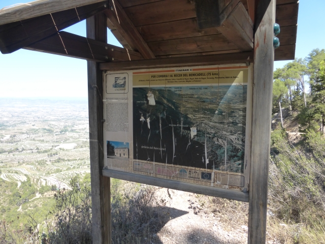
PR-CV 213 OMBRIA DEL BENICADELL
Promoter: Ayuntamiento de Beniatjar y de Ráfol de Salem
Certification status: Conditioned quality control
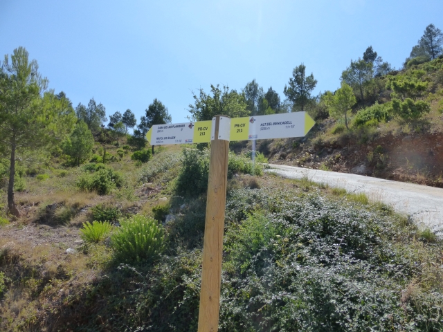
Following the inspection carried out by trail technicians, this trail has been declared of "limited adequacy" as a result of the faults detected in the signage. These include inadequate horizontal signs (paint markers) and/or vertical ones (trailheads and information boards) or lacking direction markers that do not provide sufficient information to properly follow the route. The builder of this trail has been informed of the situation.
For safety reasons and during maintenance work, it is advised to be extremely careful while taking this route. Furthermore, mountain sports entail risks associated with the activity itself and the environment where they take place, for which any person is fully liable. For this reason, hikes need to be planned properly and adequate training, equipment and sensible use of the trails are required.
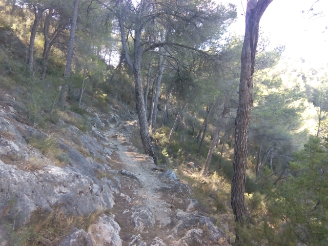
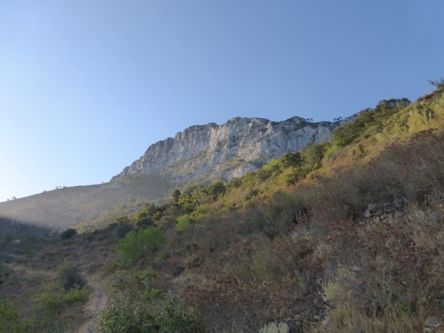
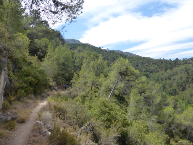
The Benicadell mountain range is the natural border between the provinces of Valencia and Alicante with the protected areas of the shady and sunny slopes that conserve a large part of the rich vegetation and where you can observe a great diversity of flora and, if you get lucky, native fauna.
Alternative routes and routes leading to nearby points of interest
PR-CV 213.1 BENIATJAR - LES FONTETES
Promoter: Ayuntamiento de Beniatjar y de Ráfol de Salem
Certification status: Positive quality control
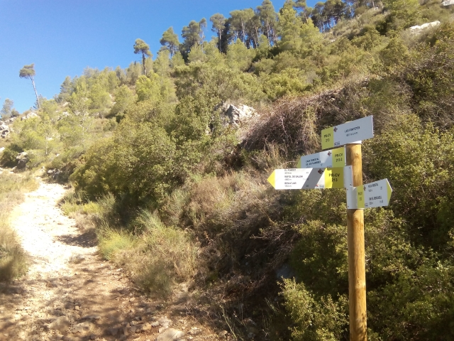
PR-CV 213.2 CASA FORESTAL DE LES PLANISSES - LES FONTETES
Promoter: Ayuntamiento de Beniatjar y de Ráfol de Salem
Certification status: Positive quality control
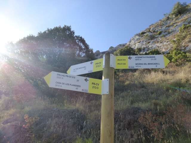
PR-CV 213.3 ALT DEL BENICADELL
Promoter: Ayuntamiento de Beniatjar y de Ráfol de Salem
Certification status: Positive quality control