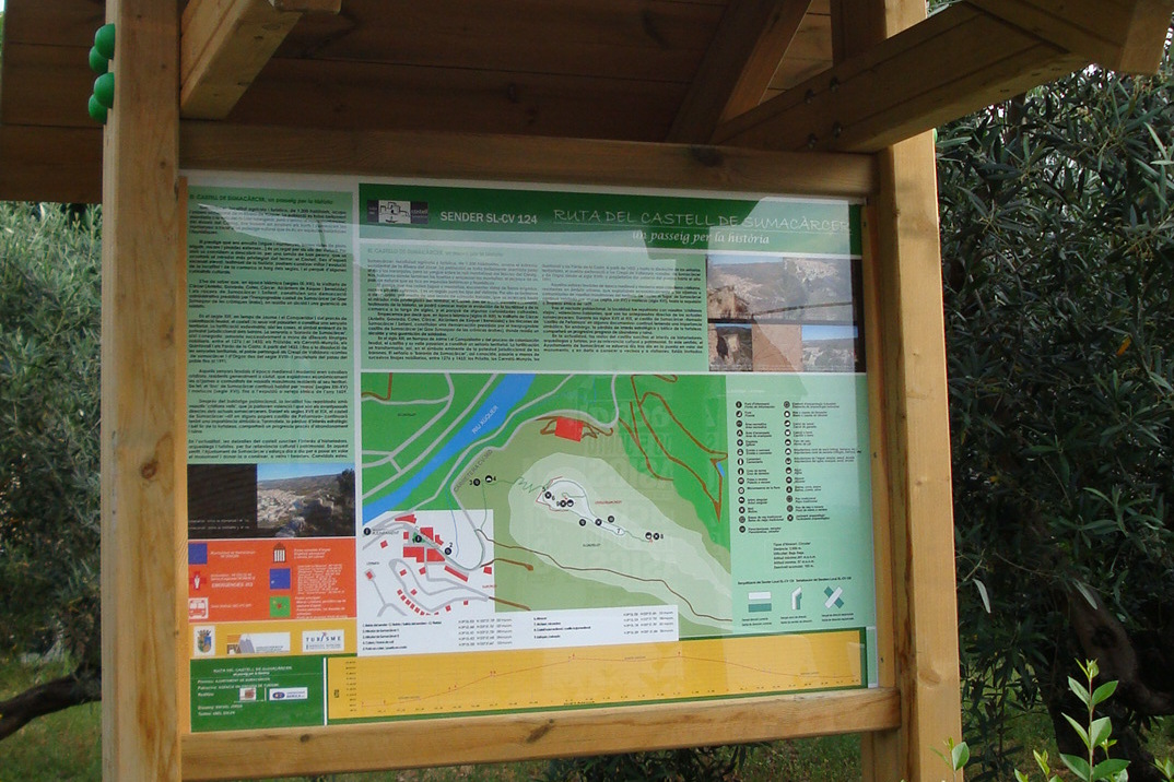
SL-CV 124 RUTA DEL CASTILLO DE SUMACÀRCER. UN PASEO POR LA HISTORIA
Promoter: Ayuntamiento de Sumacàrcer
Certification status: No quality controls
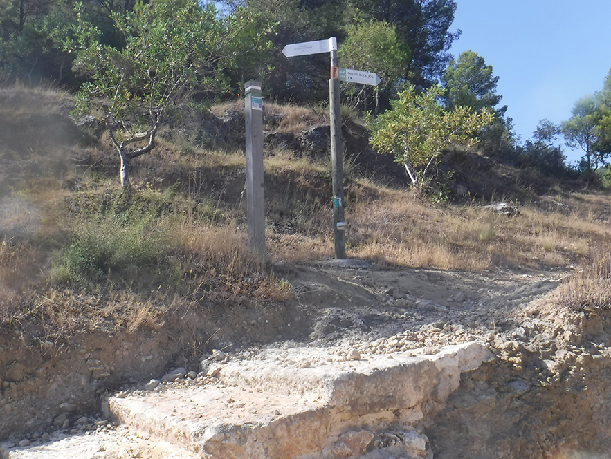
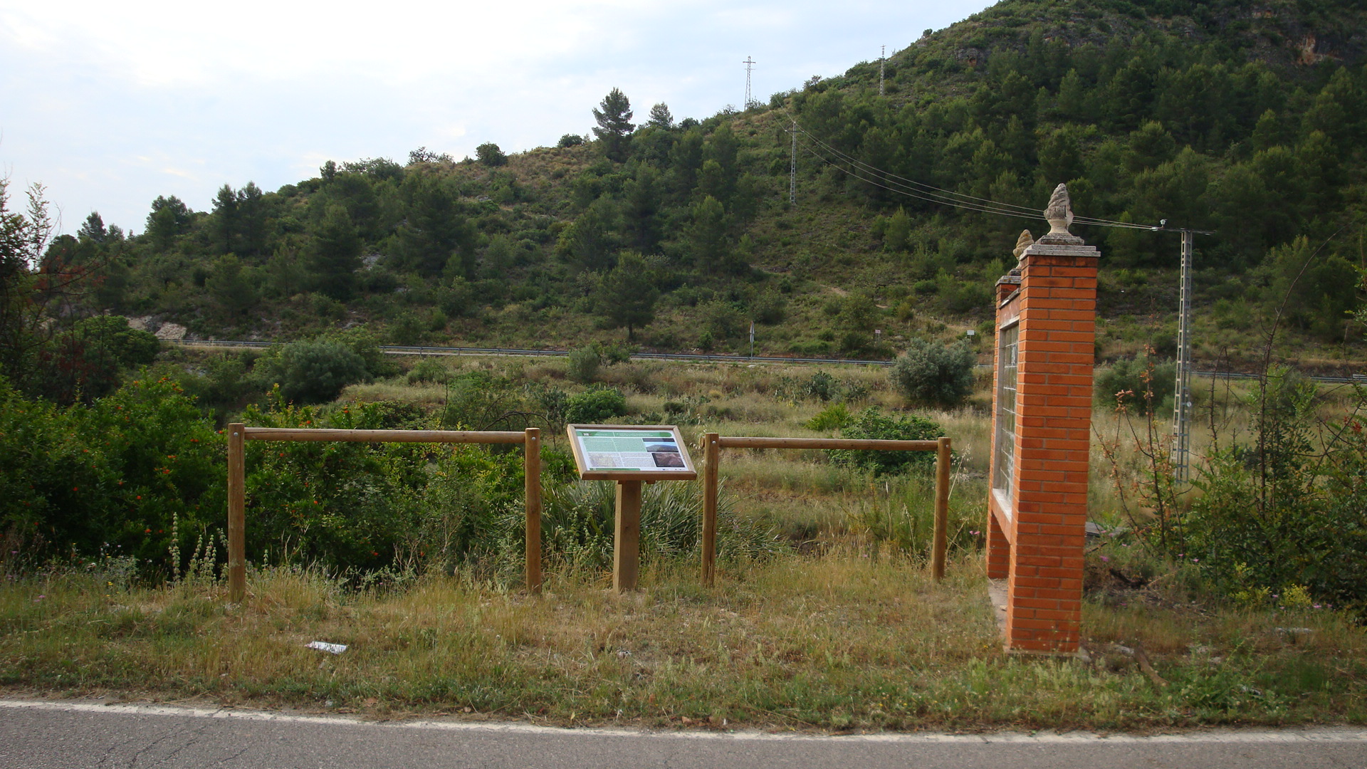
There is no proof of quality control on the record of this trail in the last years. For this reason, it is unknown whether it complies with the optimal signage and maintenance conditions for hikers to take the trail following these signs exclusively.
Hikers have to take into consideration that the information about the signage and maintenance of the trails for which the promoter entity is responsible might not be up to date anymore, since it refers to its state on the date of its approval. Furthermore, mountain sports entail risks associated with the activity itself and the environment where they take place, for which any person is fully liable. For this reason, hikes need to be planned properly and adequate training, equipment and sensible use of the trails are required.
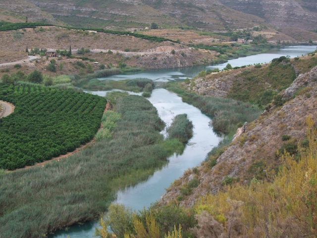
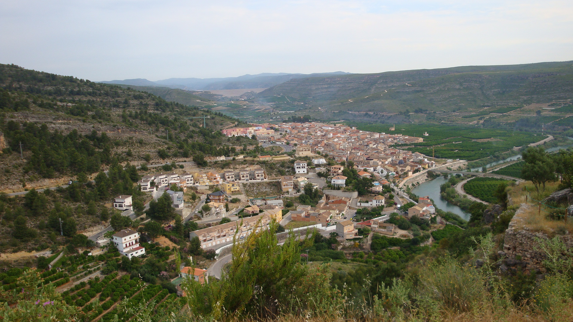
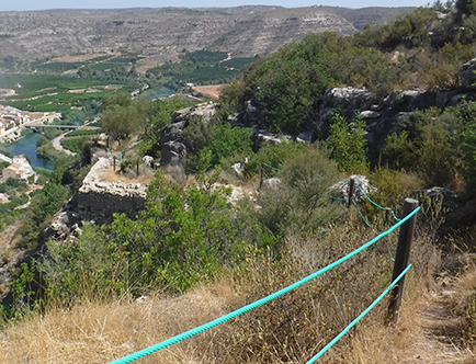
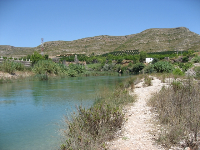
This trail takes you to the castle of Sumacàrcel, an Islamic construction with a late medieval extension, from where you have privileged panoramic views of the municipality and the region.
Other trails connecting with this trail
SL-CV 17 SENDA DE LA COSTA I LA TOSCA
Promoter: Ayuntamiento de Sumacàrcer
Certification status: No quality controls
SL-CV 17.1 SENDA DE L'OMBRIA DEL CASTELL I VEDÀ
Promoter: Ayuntamiento de Sumacàrcer
Certification status: No quality controls