
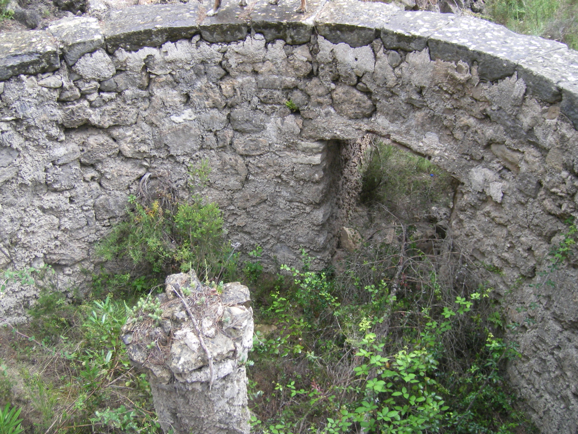
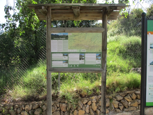
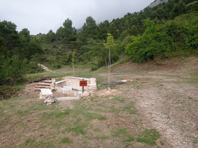
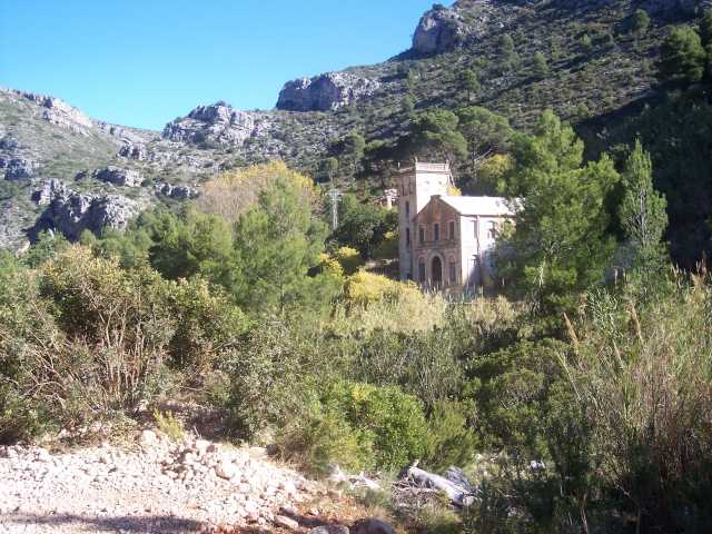
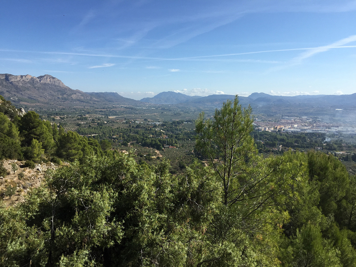
Hiking trails
Beware!. All the information on this website refers to the date of approval or the date of the last quality control of each trail, in which the FEMECV checked its conformity. The hiker should bear in mind that after these dates there may have been a deficit in signposting and maintenance, for which the promoting entity is responsible.
In addition, mountain sports involve risks derived from the activity itself and the environment in which they are carried out, which are fully assumed by each athlete, for which they must be trained, planned, properly equipped and make responsible use of the trails.
If you have used a trail and have encountered a problem or see that some information is missing, you can contact the FEMECV through the contact form on the website.
SL-CV 168 AGRES - CAVES DE MARIOLA - AGRES
Promoter: Diputación de Alicante
Certification status: Valid
PR-CV 21 PUERTO DE TUDONS - BENIFATO
Promoter: Diputación de Alicante
Certification status: Positive quality control

PR-CV 22 PUERTO DE TUDONS - CONFRIDES
Promoter: Diputación de Alicante
Certification status: De-registered / De-approved
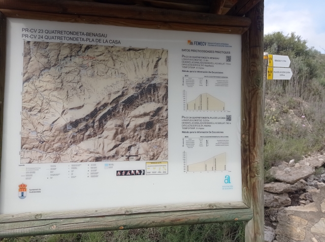
PR-CV 23 QUATRETONDETA - BENASAU
Promoter: Diputación de Alicante
Certification status: Positive quality control
PR-CV 24 QUATRETONDETA - PLA DE LA CASA
Promoter: Diputación de Alicante
Certification status: Positive quality control
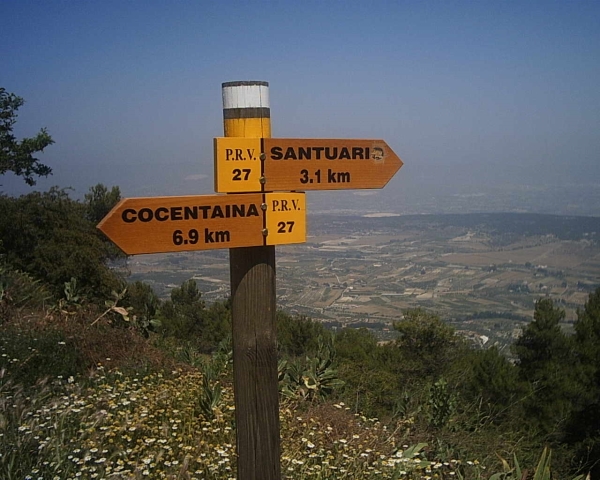
PR-CV 27 SENDA D'AGRES A COCENTAINA
Promoter: Centre Excursionista Les Caves
Certification status: Conditioned quality control
PR-CV 37 SANT CRISTÒFOL - MONTCABRER - SANT CRISTÒFOL
Promoter: Centre Excursionista Contestà
Certification status: Positive quality control
PR-CV 42 L'ORXA - CUMBRE SAFOR - L'ORXA
Promoter: Ayuntamiento de Lorcha
Certification status: Negative quality control
PR-CV 56 MURO D'ALCOI - RACÓ LLOBET
Promoter: Centre Excursionista de Muro d'Alcoi
Certification status: Positive quality control
PR-CV 103 VIA VERDA - COVA ALTA
Promoter: Ayuntamiento de Agres
Certification status: Negative quality control
PR-CV 104 AGRES - CAVA DON MIGUEL
Promoter: Ayuntamiento de Agres
Certification status: Positive quality control
PR-CV 154 SENDER DE BENIMASSOT
Promoter: Ayuntamiento de Benimassot
Certification status: Negative quality control
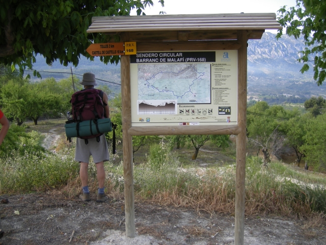
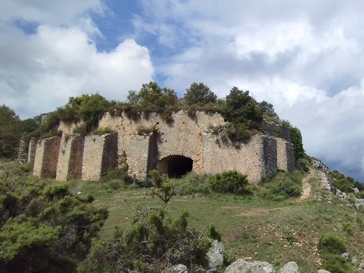
PR-CV 168 BENIMASSOT - BARRANC DE MALAFÍ - CASTELL DE CASTELLS - BENIMASSOT
Promoter: Diputación de Alicante
Certification status: No quality controls
PR-CV 182 FAGECA - PLA DE LA CASA
Promoter: Ayuntamiento de Fageca
Certification status: Positive quality control
PR-CV 184 SERRA DEL BENICADELL
Promoter: Ayuntamiento de Muro de Alcoy
Certification status: Negative quality control
PR-CV 207 L'ORXA - ÀREES RECREATIVES
Promoter: Ayuntamiento de Lorcha
Certification status: No quality controls
PR-CV 277 PENYA EL FRARE
Promoter: Ayuntamiento de Muro de Alcoy
Certification status: No quality controls
PR-CV 370 ALFAFARA - CAVA DON MIGUEL (PER LA SERRELLA)
Promoter: Ayuntamiento de Alfafara
Certification status: No quality controls
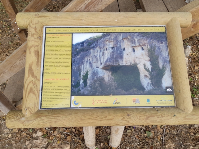
PR-CV 389 COVA DE LES FINESTRES
Promoter: Ayuntamiento de Alfafara
Certification status: Positive quality control
