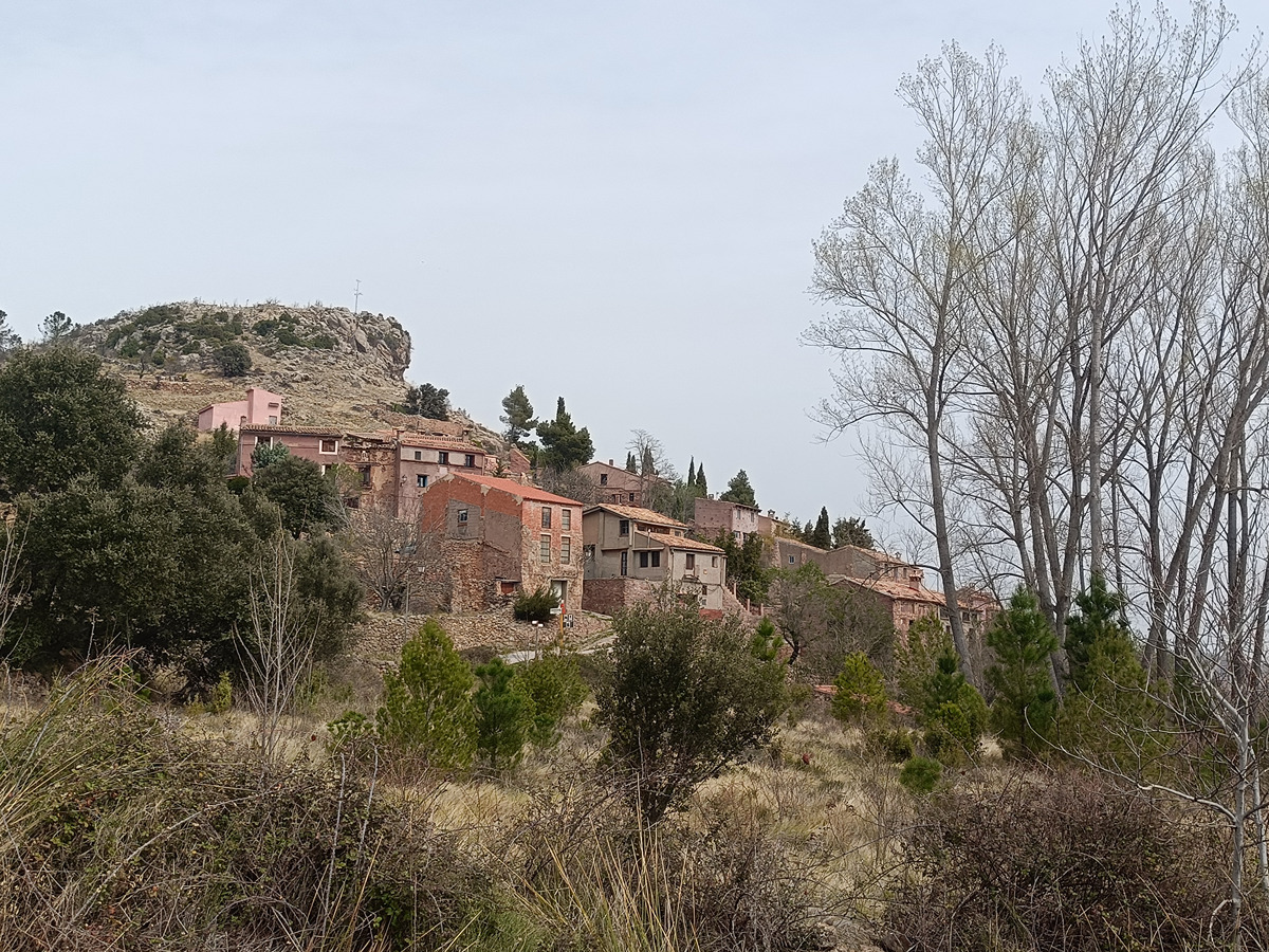
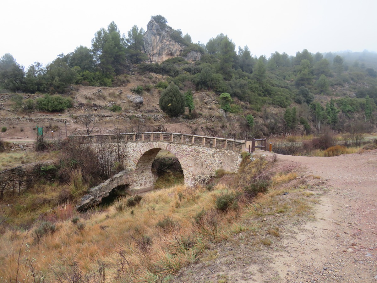
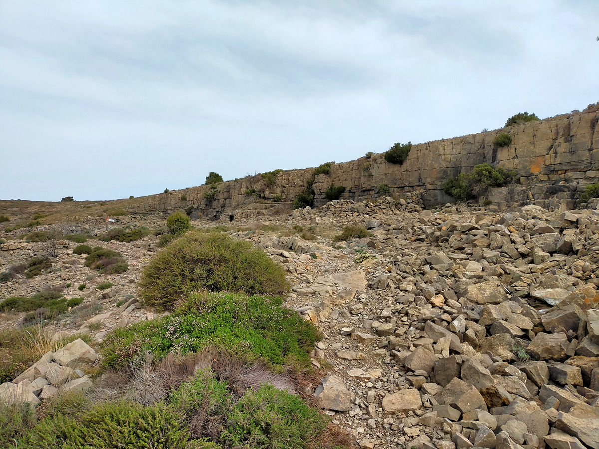
Hiking trails

Beware!. All the information on this website refers to the date of approval or the date of the last quality control of each trail, in which the FEMECV checked its conformity. The hiker should bear in mind that after these dates there may have been a deficit in signposting and maintenance, for which the promoting entity is responsible.
In addition, mountain sports involve risks derived from the activity itself and the environment in which they are carried out, which are fully assumed by each athlete, for which they must be trained, planned, properly equipped and make responsible use of the trails.
If you have used a trail and have encountered a problem or see that some information is missing, you can contact the FEMECV through the contact form on the website.

11 results obtained
trail image

GR 7 COMUNITAT VALENCIANA. FREDES - EL PINÓS/PINOSO

Promoter: Generalitat Valenciana

Certification status: See stages

Reference municipality: Pobla de Benifassà (La) Length: 586,60 km Estimated walking time: 180:35:00 Elevation gain: 17.635 m Elevation loss: 18.585 m
(0)
trail image

GR 7 E35 BEJÍS - ANDILLA

Promoter: Generalitat Valenciana

Certification status: Positive quality control

Etapa número: 35

Reference municipality: Bejís Length: 21,90 km Estimated walking time: 06:55:00 Elevation gain: 740 m Elevation loss: 665 m
(0)
trail image

GR 7 E36 ANDILLA - CHELVA

Promoter: Generalitat Valenciana

Certification status: temporary cancellation

Etapa número: 36

Reference municipality: Andilla Length: 25,90 km Estimated walking time: 08:10:00 Elevation gain: 625 m Elevation loss: 1.115 m
(0)
trail image

GR 10 VALÈNCIA - PORTUGAL

Promoter: Generalitat Valenciana

Certification status: See stages

Reference municipality: Puçol Length: 98,70 km Estimated walking time: 32:50:00 Elevation gain: 4.495 m Elevation loss: 3.110 m
(0)
trail image

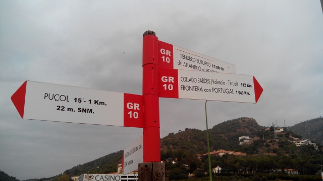
GR 10 E06 SACAÑET - ANDILLA

Promoter: Generalitat Valenciana

Certification status: Positive quality control

Etapa número: 6

Reference municipality: Sacañet Length: 15,00 km Estimated walking time: 04:55:00 Elevation gain: 490 m Elevation loss: 615 m
(0)
trail image

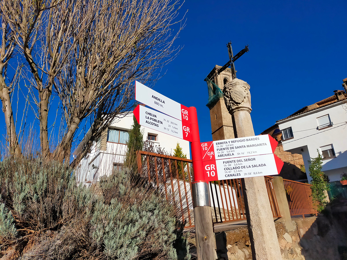
GR 10 E07 ANDILLA - COLLADO BARDÉS

Promoter: Generalitat Valenciana

Certification status: Positive quality control

Etapa número: 7

Reference municipality: Andilla Length: 6,70 km Estimated walking time: 02:20:00 Elevation gain: 565 m Elevation loss: 45 m
(0)
trail image

PR-CV 176 ANDILLA - OSET - ALCUBLAS

Promoter: Ayuntamiento de Andilla

Certification status: No quality controls

Reference municipality: Andilla Length: 16,10 km Estimated walking time: 03:00:00 Elevation gain: 660 m Elevation loss: 780 m
(0)
trail image

PR-CV 257 RUTA DE LES BODEGUES

Promoter: Ayuntamiento de Llíria

Certification status: Conditioned quality control

Reference municipality: Llíria Length: 26,30 km Estimated walking time: 07:45:00 Elevation gain: 560 m Elevation loss: 560 m
(0)
trail image

PR-CV 259 RUTA DEL BARRANC DE GASQUE

Promoter: Ayuntamiento de Llíria

Certification status: Negative quality control

Reference municipality: Llíria Length: 23,70 km Estimated walking time: 07:40:00 Elevation gain: 845 m Elevation loss: 845 m
(0)
trail image

PR-CV 424 BARONÍA DE ANDILLA

Promoter: Ayuntamiento de Andilla

Certification status: Conditioned quality control

Reference municipality: Andilla Length: 23,10 km Estimated walking time: 07:40:00 Elevation gain: 900 m Elevation loss: 900 m
(0)
trail image

PR-CV 449 PARDANCHINOS - OSSET - ANDILLA

Promoter: Ayuntamiento de Andilla

Certification status: No quality controls

Reference municipality: Andilla Length: 14,40 km Estimated walking time: 04:45:00 Elevation gain: 650 m Elevation loss: 415 m
(0)